Rifugio Becchi Rossi
Map
![Rifugio Becchi Rossi location map](https://tzmedia.b-cdn.net/media/images/static-maps/it/44_3587_6_95501.jpg)
Map
![Rifugio Becchi Rossi location map](https://tzmedia.b-cdn.net/media/images/static-maps/it/44_3587_6_95501.jpg)
Facts and practical information
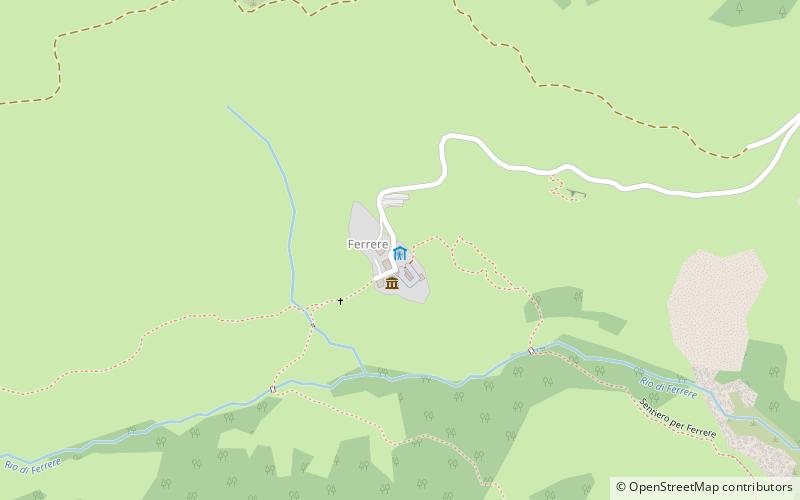
The Becchi Rossi refuge is a refuge located in the hamlet of Ferrere in the municipality of Argentera, in the upper Stura di Demonte Valley in the Maritime Alps.
Coordinates: 44°21'31"N, 6°57'18"E
Day trips
Rifugio Becchi Rossi – popular in the area (distance from the attraction)
Nearby attractions include: Maddalena Pass, Rifugio Gardetta, Rifugio Guglielmo Migliorero, Rifugio Ervedo Zanotti.