San Carlo, Modena

Map
Facts and practical information
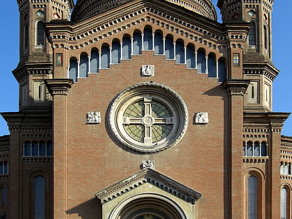
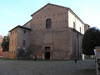
San Carlo is a Baroque-style, former Roman Catholic church in Modena, Italy. It has been deconsecrated and is used as an auditorium. ()
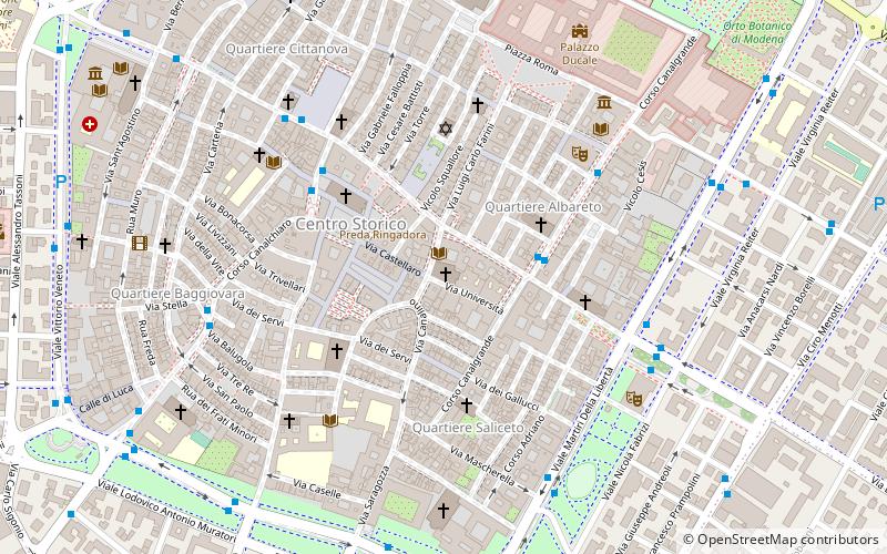
Coordinates: 44°38'43"N, 10°55'39"E
Address
Modena
ContactAdd
Social media
Add
Day trips
San Carlo – popular in the area (distance from the attraction)
Nearby attractions include: Modena Cathedral, Stadio Alberto Braglia, Palazzo Ducale, Ghirlandina.
Frequently Asked Questions (FAQ)
Which popular attractions are close to San Carlo?
Nearby attractions include Università, Modena (2 min walk), Piazza Grande, Modena (3 min walk), San Vincenzo, Modena (3 min walk), Ghirlandina, Modena (3 min walk).
How to get to San Carlo by public transport?
The nearest stations to San Carlo:
Bus
Trolleybus
Train
Bus
- Canalgrande bv Emilia est • Lines: 4, Linea 4 (Latina/Galilei) (3 min walk)
- Largo Garibaldi • Lines: 3, 3A, 4, Linea 4 (Latina/Galilei) (6 min walk)
Trolleybus
- via Giannone • Lines: 6 (11 min walk)
- Giannone • Lines: 6 (11 min walk)
Train
- Modena (17 min walk)
- Modena Policlinico (20 min walk)


