Vincent Pyramid
Gallery (1)
Map
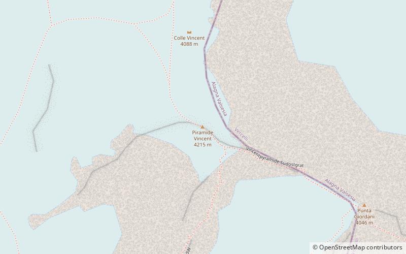
Map
Facts and practical information
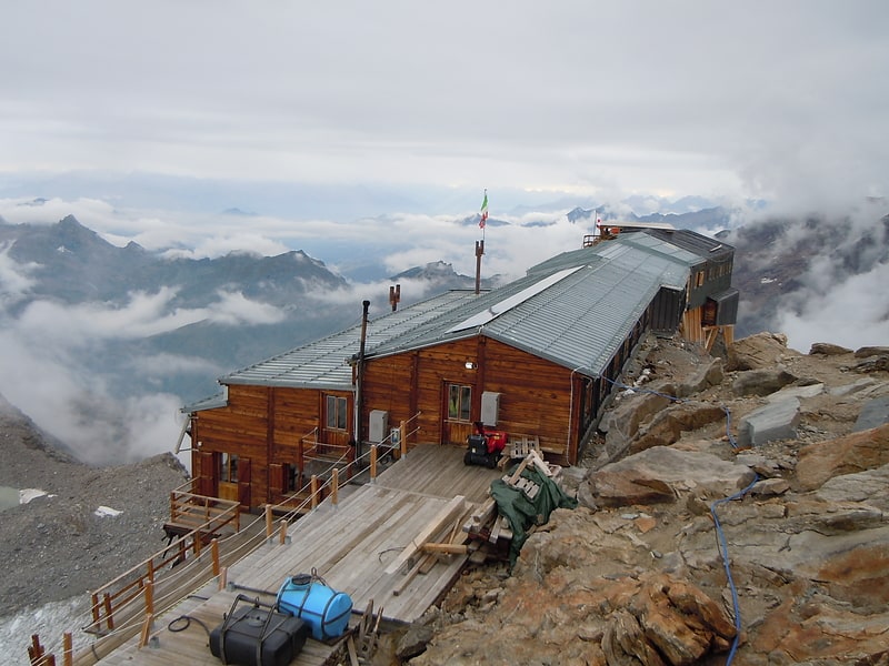
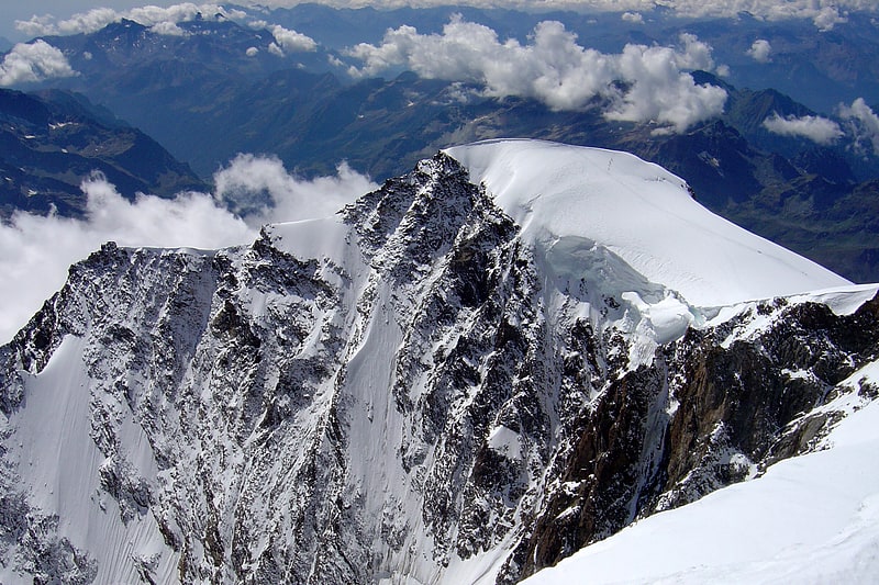
The Vincent Pyramid is a mountain of the Pennine Alps, located on the border between the Italian regions of Aosta Valley and Piedmont. The Vincent Pyramid makes up a large buttress of the huge multi-summited Monte Rosa. It lies south of the Ludwigshöhe on the border with Switzerland, between the Lysgletscher and the Piode Glacier. A seconday summit of the Vincent Pyramid, the Punta Giordani/Giordanispétz, lies to the southeast. Both Vincent Pyramid and Punta Giordani are on the official UIAA list of Alpine four-thousanders. ()
Local name: Piramide Vincent First ascent: 1819Elevation: 13829 ftProminence: 420 ftCoordinates: 45°54'29"N, 7°51'41"E
Location
Aosta Valley
ContactAdd
Social media
Add
Day trips