Rifugio Camanin, Madesimo

Gallery (1)
Map
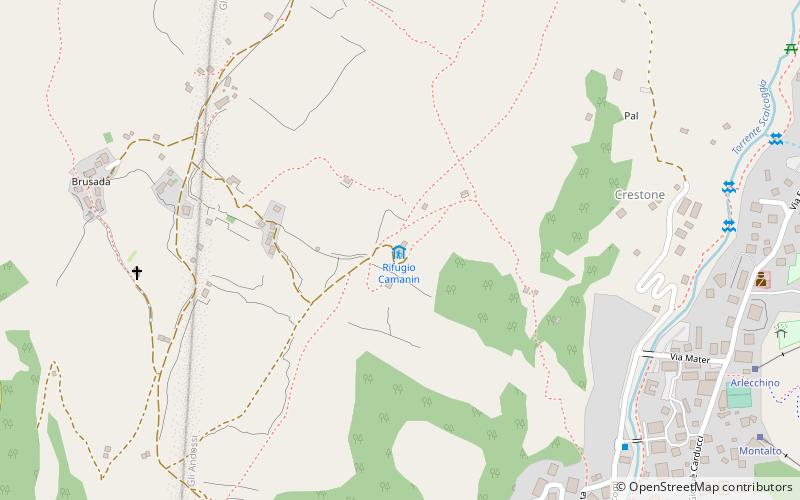
Map
Facts and practical information
Rifugio Camanin is a place located in Madesimo (Lombardy region) and belongs to the category of hiking, alpine hut.
It is situated at an altitude of 5502 feet, and its geographical coordinates are 46°26'31"N latitude and 9°21'15"E longitude.
Among other places and attractions worth visiting in the area are: Rifugio Pasini, Montespluga (hiking, 12 min walk), Rifugio Stuetta, Montespluga (hiking, 46 min walk), Rifugio Giovanni Bertacchi, Montespluga (hiking, 57 min walk).
Coordinates: 46°26'31"N, 9°21'15"E
Address
Madesimo
ContactAdd
Social media
Add
Day trips