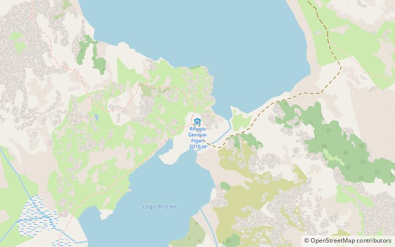
Rifugio Genova-Figari
Map

Map

Facts and practical information
The Genova-Figari refuge is a refuge located in the Maritime Alps range in the municipality of Entracque, in the province of Cuneo, at an altitude of 2015 meters. It is located on the shore of Lake Chiotas and a short distance from Lake Brocan, at the foot of Mount Argentera.
Coordinates: 44°9'40"N, 7°20'3"E
Location
Piedmont
ContactAdd
Social media
Add
Day trips
Rifugio Genova-Figari – popular in the area (distance from the attraction)
Nearby attractions include: Cime du Gélas, Monte Argentera, Monte Matto, Lago del Chiotas.


