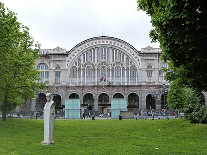
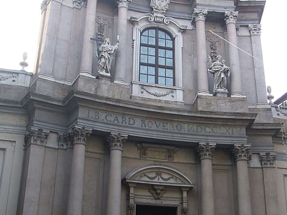
Velodrome Humbert I, Turin
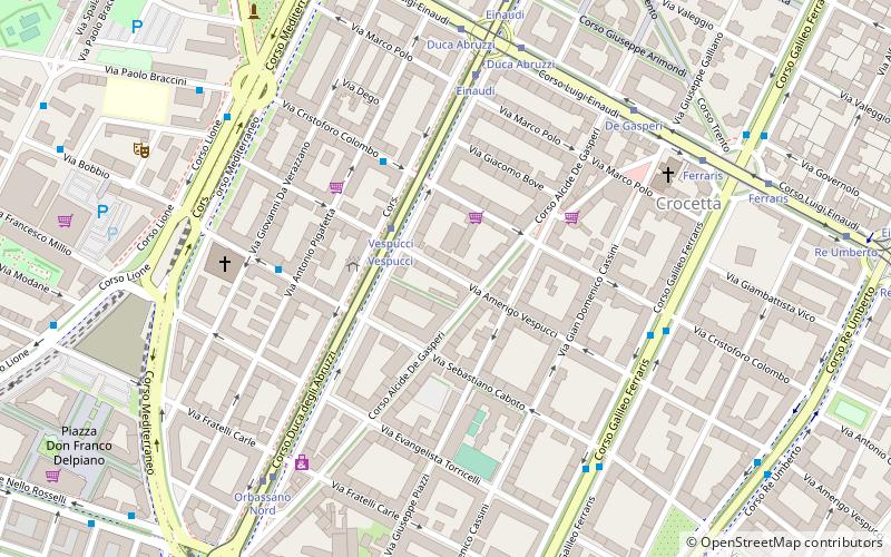
Map
Facts and practical information
Velodrome Humbert I, commonly known in Italian as Velodromo Umberto I, was an early cycling velodrome and, from 1898, a football ground in Turin. The velodrome was named in honour of then King Humbert I of Savoy. During its time in use it was used by several clubs, it was located within the La Crocetta neighbourhood of Turin, within the Corso Re Umberto park near Mauriziano hospital. ()
Local name: Velodromo Umberto I Opened: 1895 (131 years ago)Capacity: 15 thous.Coordinates: 45°3'25"N, 7°39'37"E
Address
Circoscrizione 1 (Crocetta)Turin
ContactAdd
Social media
Add
Day trips
Velodrome Humbert I – popular in the area (distance from the attraction)
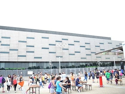
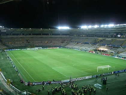
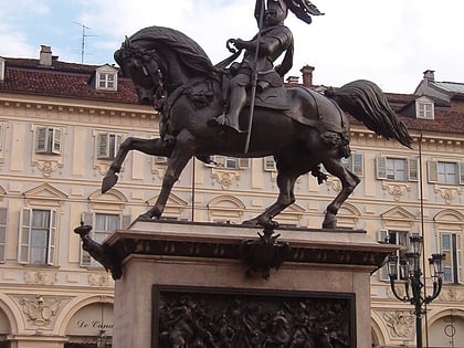
Nearby attractions include: Pala Alpitour, Stadio Olimpico Grande Torino, Civic Gallery of Modern and Contemporary Art, Equestrian monument of Emmanuel Philibert.
Frequently Asked Questions (FAQ)
Which popular attractions are close to Velodrome Humbert I?
Nearby attractions include Officine Grandi Riparazioni, Turin (17 min walk), Civic Gallery of Modern and Contemporary Art, Turin (18 min walk), Torre Intesa Sanpaolo, Turin (23 min walk), Fondazione Merz, Turin (24 min walk).
How to get to Velodrome Humbert I by public transport?
The nearest stations to Velodrome Humbert I:
Tram
Bus
Metro
Train
Tram
- Vespucci • Lines: 10 (2 min walk)
- Duca Abruzzi • Lines: 15, 16 (6 min walk)
Bus
- Vespucci • Lines: 10, 11, 12, 58/ (2 min walk)
- Duca Abruzzi • Lines: 58/ (4 min walk)
Metro
- Vinzaglio • Lines: M1 (20 min walk)
- Nizza • Lines: M1 (21 min walk)
Train
- Torino Porta Nuova (23 min walk)
- Torino Porta Susa (27 min walk)
