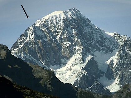
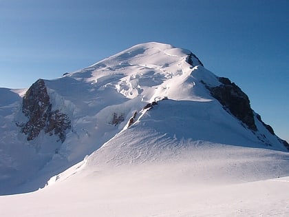
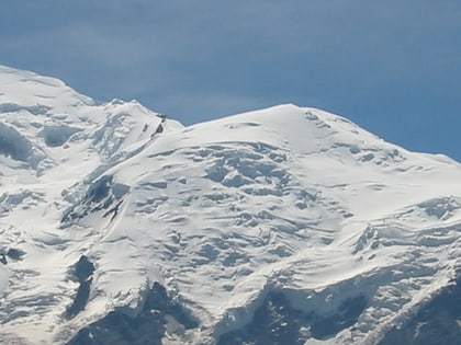
Mont Blanc de Courmayeur, Mont Blanc
Map
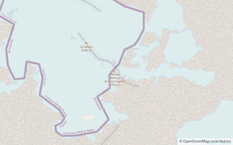
Map

Facts and practical information
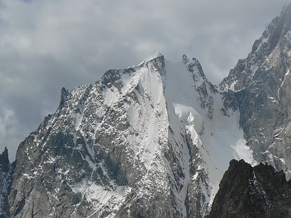
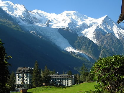
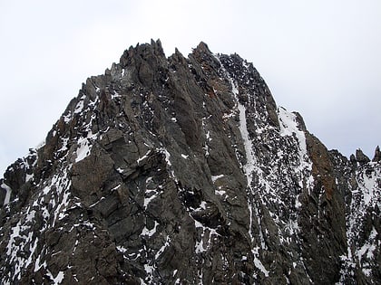
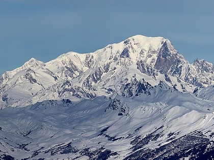
Mont Blanc de Courmayeur is a point on the south-east ridge of Mont Blanc that forms the peak of the massive south-east face of the mountain. It is connected to the main summit via the Col Major. ()
Local name: Monte Bianco di Courmayeur First ascent: 1822Elevation: 15577 ftCoordinates: 45°49'42"N, 6°52'13"E
Address
Mont Blanc
ContactAdd
Social media
Add
Day trips
Mont Blanc de Courmayeur – popular in the area (distance from the attraction)
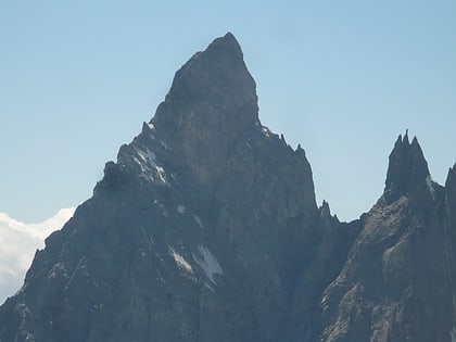
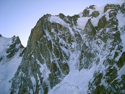
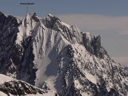
Nearby attractions include: Aiguille Blanche de Peuterey, Aiguille Noire de Peuterey, Grand Pilier d'Angle, Punta Baretti.
Frequently Asked Questions (FAQ)
Which popular attractions are close to Mont Blanc de Courmayeur?
Nearby attractions include Mont Blanc - Monte Bianco, Mont Blanc (11 min walk), Grand Pilier d'Angle, Mont Blanc (12 min walk), Pic Luigi Amedeo, Mont Blanc (13 min walk), Pic Eccles, Mont Blanc (15 min walk).

