Tomb of the Blue Demons, Tarquinia
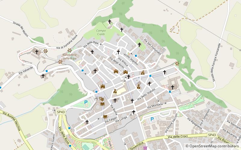
Map
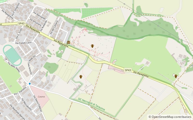
Map

Facts and practical information
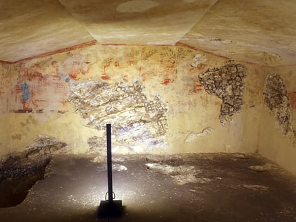
The Tomb of the Blue Demons is an Etruscan tomb in the Necropolis of Monterozzi near Tarquinia, Italy. It was discovered in 1985. The tomb is named after the blue and black-skinned demons which appear in an underworld scene on the right wall. The tomb has been dated to the end of the fifth century BC. ()
Coordinates: 42°14'56"N, 11°46'13"E
Address
Tarquinia
ContactAdd
Social media
Add
Day trips
Tomb of the Blue Demons – popular in the area (distance from the attraction)
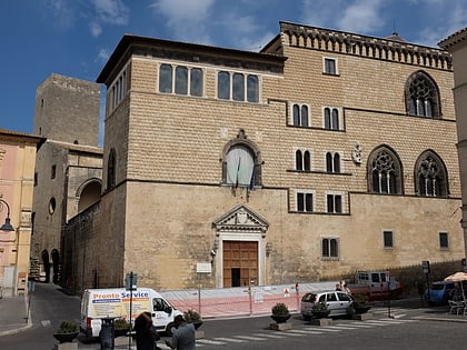
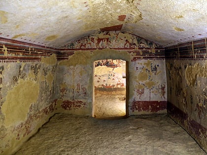
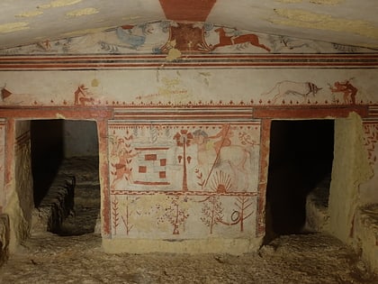
Nearby attractions include: Tarquinia National Museum, Monterozzi necropolis, Tomb of the Leopards, Tomb of the Whipping.
Frequently Asked Questions (FAQ)
Which popular attractions are close to Tomb of the Blue Demons?
Nearby attractions include Tomb of the Whipping, Tarquinia (1 min walk), Tomb of the Leopards, Tarquinia (2 min walk), Tomb of the Triclinium, Tarquinia (2 min walk), Monterozzi necropolis, Tarquinia (3 min walk).
How to get to Tomb of the Blue Demons by public transport?
The nearest stations to Tomb of the Blue Demons:
Bus
Bus
- Chiesa San Francesco • Lines: A (16 min walk)
- Uficio Postale • Lines: C (16 min walk)
