Church of San Paolo, Savona
Map

Map

Facts and practical information
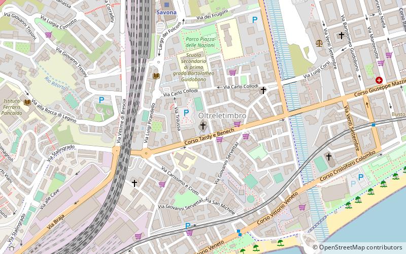
St. Paul's Church stands in Savona, in the Oltreletimbro area, along the main road connecting the city center and west, in an area that expanded after World War II.
Local name: Chiesa di San PaoloCoordinates: 44°18'12"N, 8°28'21"E
Day trips
Church of San Paolo – popular in the area (distance from the attraction)
Nearby attractions include: Archaeological Museum of Savona, Fortezza del Priamar, Bagni Marinella, Cathedral of the Assumption.
Frequently Asked Questions (FAQ)
Which popular attractions are close to Church of San Paolo?
Nearby attractions include Chiesa di Santa Rita, Savona (4 min walk), Church of the Sacred Heart, Savona (7 min walk), Bagni Marinella, Savona (8 min walk), Santi Giovanni Battista, Savona (9 min walk).
How to get to Church of San Paolo by public transport?
The nearest stations to Church of San Paolo:
Train
Bus
Train
- Savona (7 min walk)
Bus
- Terminale TPL (8 min walk)
- stazione FS • Lines: 7, 7/ (8 min walk)


