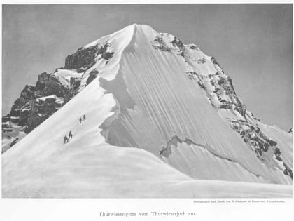
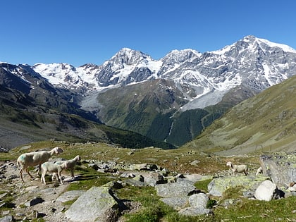
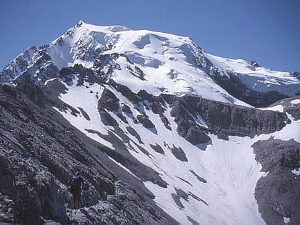
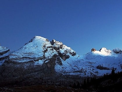
Thurwieserspitze, Stelvio National Park
Map
Map

Facts and practical information
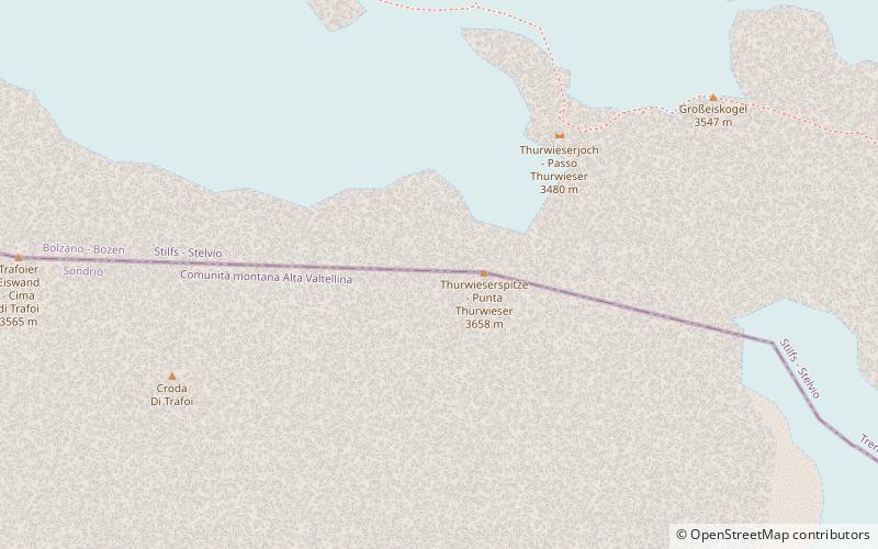
The Thurwieserspitze is a mountain in the Ortler Alps on the border between South Tyrol and the Province of Sondrio, Italy. ()
Local name: Punta Thurwieser First ascent: 1869Elevation: 11982 ftProminence: 988 ftCoordinates: 46°29'43"N, 10°31'27"E
Address
Stelvio National Park
ContactAdd
Social media
Add
Day trips
Thurwieserspitze – popular in the area (distance from the attraction)
Nearby attractions include: Ortler, Rifugio Quinto Alpini, Monte Zebrù, Southern Rhaetian Alps.
Frequently Asked Questions (FAQ)
Which popular attractions are close to Thurwieserspitze?
Nearby attractions include Trafoier Eiswand, Stelvio National Park (14 min walk), Monte Zebrù, Stelvio National Park (18 min walk).
