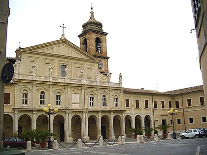
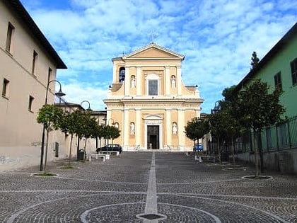
Stadio Libero Liberati, Terni
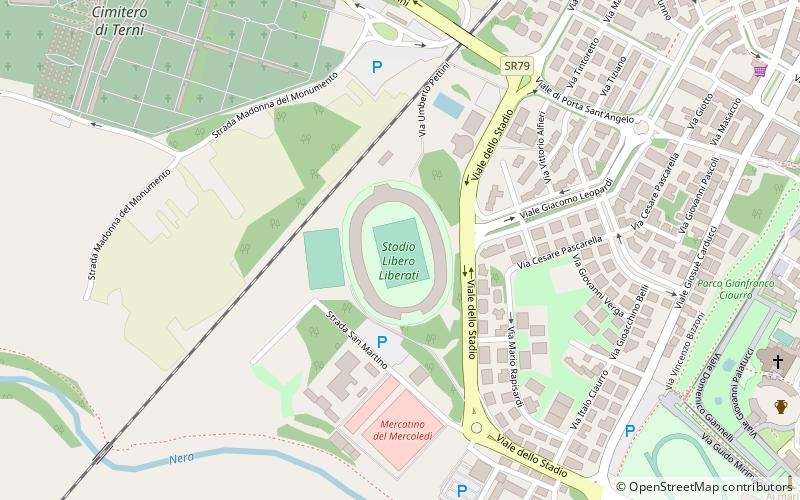
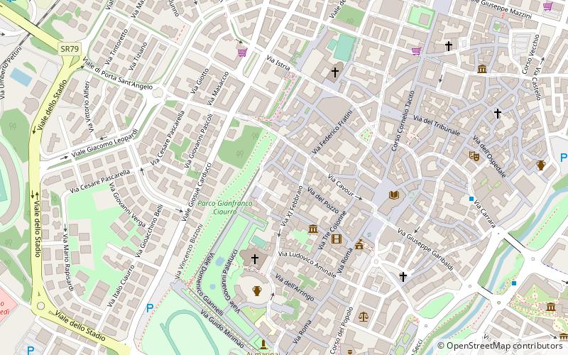
Map
Facts and practical information
The Stadio Libero Liberati is a multi-use stadium in Terni, Italy. It is currently used mostly for football matches and the home of Ternana Unicusano Calcio. The stadium was built in 1969 and holds 17,460. ()
Alternative names: Opened: 1969 (57 years ago)Area: 24.71 acres (0.0386 mi²)Capacity: 17.5 thous.Coordinates: 42°33'44"N, 12°38'7"E
Address
Viale dello Stadio 1Terni 05100
ContactAdd
Social media
Add
Day trips
Stadio Libero Liberati – popular in the area (distance from the attraction)
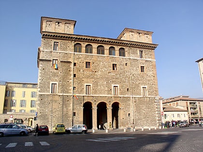
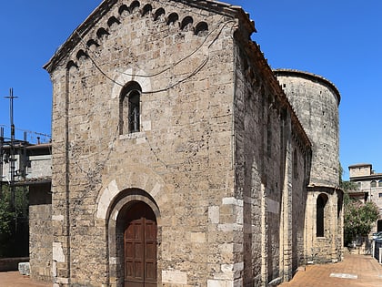
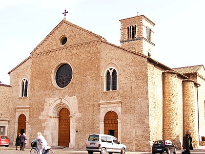
Nearby attractions include: Palazzo Spada, Sant'Alò, San Salvatore, San Francesco.
Frequently Asked Questions (FAQ)
Which popular attractions are close to Stadio Libero Liberati?
Nearby attractions include Terni Cathedral, Terni (11 min walk), Anfiteatro Fausto, Terni (12 min walk), Sant'Alò, Terni (12 min walk), San Francesco, Terni (15 min walk).
How to get to Stadio Libero Liberati by public transport?
The nearest stations to Stadio Libero Liberati:
Train
Train
- Terni (26 min walk)
- Terni Cospea (26 min walk)
