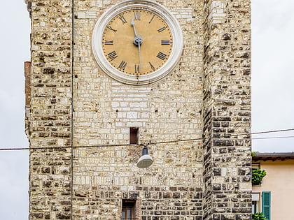
Piazza della Loggia, Brescia
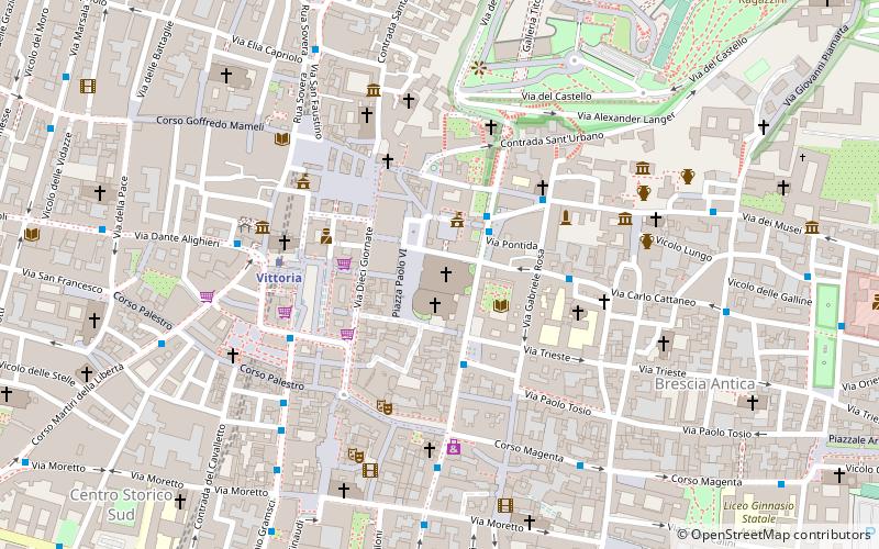
Map
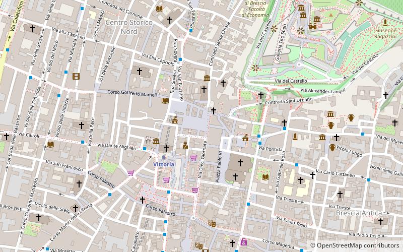
Map

Facts and practical information
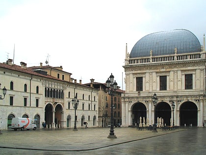
Piazza della Loggia, or more simply Piazza Loggia, is one of Brescia's main squares and a symbolic place of the Brescian Renaissance.
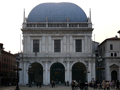
Built from the 15th century onward, it has an overall rectangular shape, bordered along its perimeter by a series of historic buildings including the 16th-century Palazzo della Loggia, seat of Brescia's municipal council, as well as the two monti di Pietà old and new. On the eastern side of the square, however, stand the arcades and the tower with the 16th-century astronomical clock.
Coordinates: 45°32'23"N, 10°13'13"E
Address
Brescia
ContactAdd
Social media
Add
Day trips
Piazza della Loggia – popular in the area (distance from the attraction)
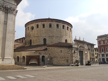
Nearby attractions include: Old Cathedral, Tempio Capitolino, Broletto, New Cathedral.
Frequently Asked Questions (FAQ)
Which popular attractions are close to Piazza della Loggia?
Nearby attractions include Chiesa di Santa Rita, Brescia (2 min walk), Palazzo della Loggia, Brescia (2 min walk), Church of San Giuseppe, Brescia (2 min walk), Torre del Pegol, Brescia (2 min walk).
How to get to Piazza della Loggia by public transport?
The nearest stations to Piazza della Loggia:
Metro
Bus
Train
Metro
- Vittoria • Lines: Metropolitana (3 min walk)
- San Faustino • Lines: Metropolitana (10 min walk)
Bus
- p.zza Martiri di Belfiore n 4/b • Lines: 10, 11, 18, 6 (4 min walk)
- P.zza Martiri di Belfiore n 3 • Lines: 10, 11, 17, 18, 2, 6 (4 min walk)
Train
- Brescia (16 min walk)
