Lungarno Torrigiani, Florence
Map

Map

Facts and practical information
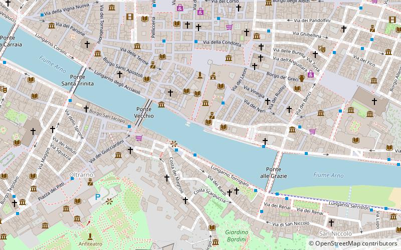
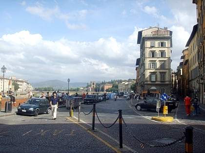
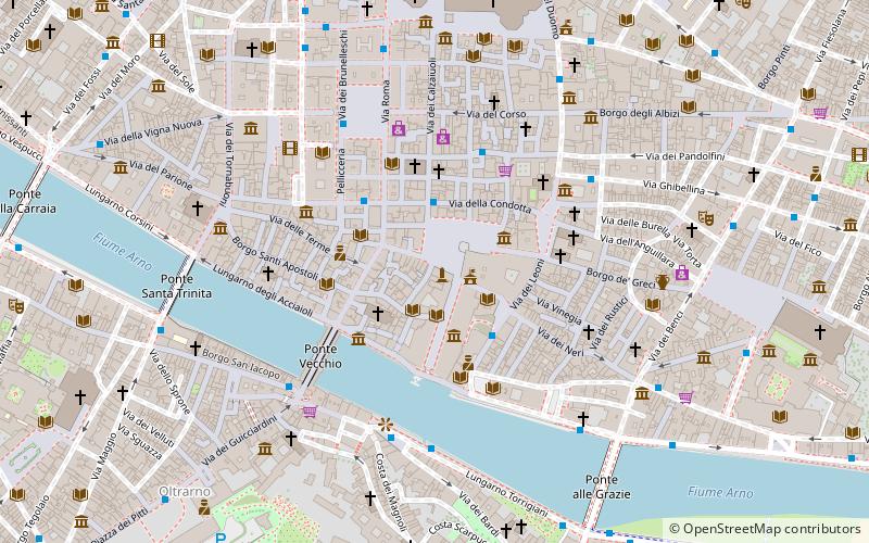
Lungarno Torrigiani is the stretch of the south bank of the Arno river in Florence that goes from Via de 'Bardi to the Ponte alle Grazie. From the Lungarno, there's an extraordinary view of the Uffizi, the Vasari Corridor and Ponte Vecchio. ()
Address
Centro Storico (Centro)Florence
ContactAdd
Social media
Add
Day trips
Lungarno Torrigiani – popular in the area (distance from the attraction)
Nearby attractions include: Uffizi, Ponte Vecchio, Piazza della Signoria, Museo Galileo.
Frequently Asked Questions (FAQ)
Which popular attractions are close to Lungarno Torrigiani?
Nearby attractions include Museo Galileo, Florence (1 min walk), Tribuna of the Uffizi, Florence (2 min walk), Torre dei Pulci, Florence (2 min walk), Tempi Palace, Florence (3 min walk).
How to get to Lungarno Torrigiani by public transport?
The nearest stations to Lungarno Torrigiani:
Bus
Tram
Train
Bus
- Santa Maria Soprarno • Lines: C1, C3, C4 (2 min walk)
- Galleria degli Uffizi • Lines: C1 (2 min walk)
Tram
- Unità • Lines: T2 (15 min walk)
- Valfonda - Stazione Santa Maria Novella • Lines: T1 (18 min walk)
Train
- Firenze Santa Maria Novella (21 min walk)
- Firenze Porta al Prato (30 min walk)


