Metropoliz, Rome
Map
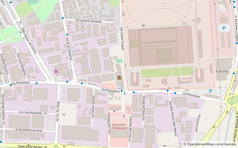
Map

Facts and practical information
Metropoliz is a former salami factory on the eastern periphery of Rome, squatted in 2009. It is the first large squat in Rome where Romani people live alongside other ethnic groups. In 2012, a museum opened on the site which has become a recognised contemporary art gallery. ()
Coordinates: 41°53'40"N, 12°35'44"E
Address
Rome
ContactAdd
Social media
Add
Day trips
Metropoliz – popular in the area (distance from the attraction)
Nearby attractions include: Jubilee Church, Villa Gordiani, Chiesa di San Giustino, CSOA Forte Prenestino.
Frequently Asked Questions (FAQ)
How to get to Metropoliz by public transport?
The nearest stations to Metropoliz:
Bus
Train
Tram
Bus
- Prenestina/Tiratelli • Lines: 113, 501, 508 (2 min walk)
- Prenestina/Tor Tre Teste • Lines: 113, 150F, 313, 314, 501, 508, n12 (5 min walk)
Train
- Tor Sapienza (23 min walk)
- Palmiro Togliatti (32 min walk)
Tram
- Togliatti/Abelie • Lines: 14 (28 min walk)
- Prenestina/Larici • Lines: 14 (29 min walk)

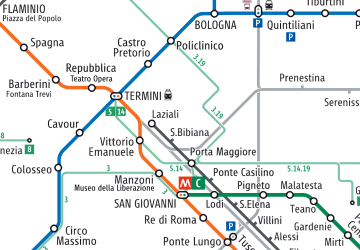 Metro / Tram / Rail


