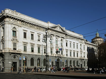
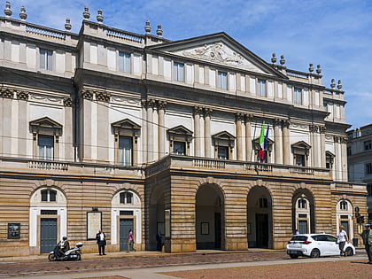
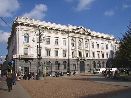
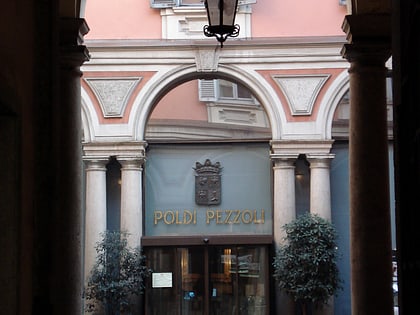
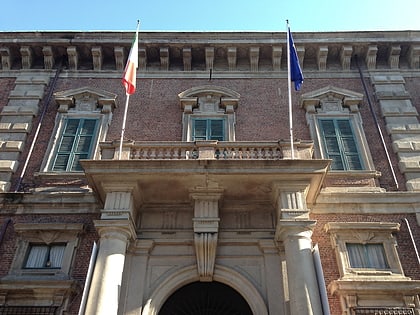
Brera, Milan
Map
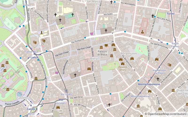
Map

Facts and practical information
Brera is a district of Milan, Italy. It is located within the Zone 1 and it is centered on Via Brera. The name stems from Medieval Italian "braida" or "brera", derived from Old Lombardic "brayda", meaning a land expanse either cleared of trees or naturally lacking them. This is because around the year 900, the Brera district was situated just outside Milan's city walls and was kept clear for military reasons. The root of the word is the same as that of the Dutch city of Breda's name and the English word "broad". ()
Address
Centro Storico (Brera)Milan
ContactAdd
Social media
Add
Day trips
Brera – popular in the area (distance from the attraction)
Nearby attractions include: Gallerie d'Italia, Pinacoteca di Brera, Sforza's Castle, Teatro alla Scala.
Frequently Asked Questions (FAQ)
Which popular attractions are close to Brera?
Nearby attractions include Brera Academy, Milan (1 min walk), Santa Maria in Brera, Milan (2 min walk), Palazzo Cusani, Milan (2 min walk), Palazzo Brera, Milan (2 min walk).
How to get to Brera by public transport?
The nearest stations to Brera:
Bus
Tram
Metro
Train
Trolleybus
Bus
- Piazza San Marco • Lines: 61 (3 min walk)
- Via Monte di Pietà - Via Verdi • Lines: 61 (5 min walk)
Tram
- Via Cusani • Lines: 1, 12, 14, 2 (6 min walk)
- Montenapoleone • Lines: 1 (7 min walk)
Metro
- Lanza • Lines: M2 (7 min walk)
- Montenapoleone • Lines: M3 (7 min walk)
Train
- Milano Nord Cadorna (17 min walk)
- Milano Repubblica (21 min walk)
Trolleybus
- Caiazzo • Lines: 90, 92 (37 min walk)

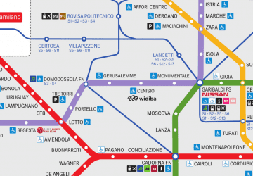 Metro
Metro