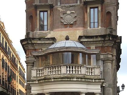
Gardens of Lucullus, Rome
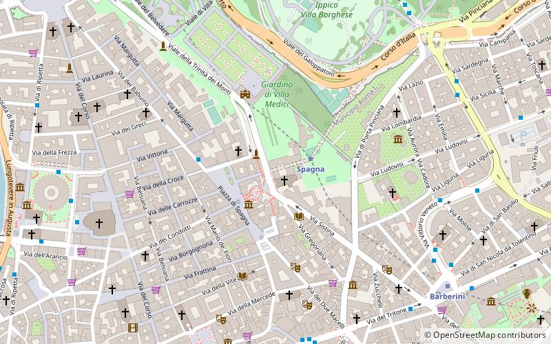
Map
Facts and practical information
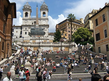
The Gardens of Lucullus were the setting for an ancient villa on the Pincian Hill on the edge of Rome; they were laid out by Lucius Licinius Lucullus about 60 BC. The Villa Borghese gardens still cover 17 acres of green on the site, now in the heart of Rome, above the Spanish Steps. ()
Address
Campo MarzioRome
ContactAdd
Social media
Add
Day trips
Gardens of Lucullus – popular in the area (distance from the attraction)
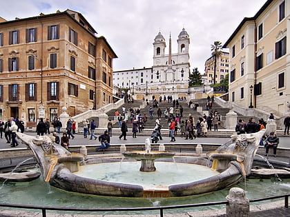
Nearby attractions include: Via Condotti, Piazza di Spagna, Spanish Steps, Fontana della Barcaccia.
Frequently Asked Questions (FAQ)
Which popular attractions are close to Gardens of Lucullus?
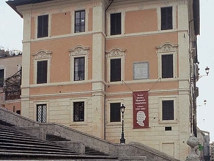
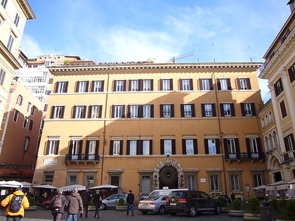
Nearby attractions include Trinità dei Monti, Rome (1 min walk), Spanish Steps, Rome (2 min walk), Palazzo Zuccari, Rome (2 min walk), San Giorgio e Martiri Inglesi, Rome (2 min walk).
How to get to Gardens of Lucullus by public transport?
The nearest stations to Gardens of Lucullus:
Metro
Bus
Ferry
Tram
Light rail
Trolleybus
Train
Metro
- Spagna • Lines: A (2 min walk)
- Barberini • Lines: A (9 min walk)
Bus
- Tritone/Fontana di Trevi • Lines: 160, 492, 53, 62, 63, 71, 83, 85, C3, n12, n25, n4, n5 (8 min walk)
- Veneto/Emilia • Lines: 160, 53, 61, 63, 83, C3, n1, n25, n4 (8 min walk)
Ferry
- Ponte Cavour (13 min walk)
- Sant'Angelo • Lines: Battelli di Roma (22 min walk)
Tram
- Flaminio • Lines: 2 (15 min walk)
- Galleria Arte Moderna • Lines: 19, 3 (19 min walk)
Light rail
- Flaminio • Lines: Fc3 (15 min walk)
- Roma Termini • Lines: Fl6, Fl7 (28 min walk)
Trolleybus
- XX Settembre/Min. Finanze • Lines: 90 (18 min walk)
- Volturno/Cernaia • Lines: 90 (21 min walk)
Train
- Roma Termini (28 min walk)
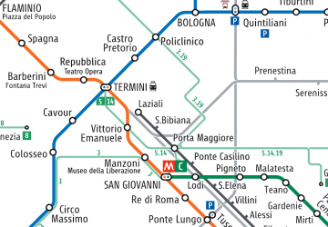 Metro / Tram / Rail

