Ponte dei Mulini, Mantua

Map
Facts and practical information
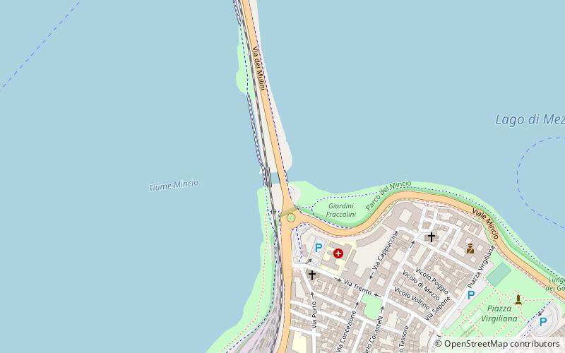
The Ponte dei Mulini is the name attached to the mainly man-made separations made across the Mincio River at Mantua, region of Lombardy, Italy. Never truly one "bridge" however the harnessed passage of the water from the upper, Lago Superiore, to the lower Lago di Mezzo, has been utilized by the local inhabitants to power mills for nearly 900 years, and hydroelectric generation in the present. ()
Address
Mantua
ContactAdd
Social media
Add
Day trips
Ponte dei Mulini – popular in the area (distance from the attraction)
Nearby attractions include: Ducal Palace, Basilica Palatina Santa Barbara, Mantua Cathedral, Basilica di Sant'Andrea.
Frequently Asked Questions (FAQ)
Which popular attractions are close to Ponte dei Mulini?
Nearby attractions include Palazzo Cavriani, Mantua (6 min walk), Church of San Leonardo, Mantua (7 min walk), Palazzo d'Arco, Mantua (9 min walk), Piazza Virgiliana, Mantua (10 min walk).
How to get to Ponte dei Mulini by public transport?
The nearest stations to Ponte dei Mulini:
Bus
Train
Bus
- Stazione FS • Lines: 46 (14 min walk)
- Corso Vittorio Emanuele - Piazza Cavallotti • Lines: 12, 9 (15 min walk)
Train
- Mantova (15 min walk)


