Viale Pasubio, Milan
Map

Map

Facts and practical information
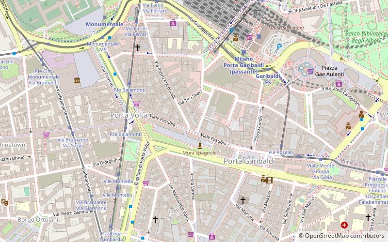
Viale Pasubio is an avenue in Milan, Italy. It is part of the circonvallazione interna ring road, a major traffic route that runs along the former Spanish walls of Milan. The street is 350 m long and connects two former city gates, namely Porta Garibaldi and Porta Volta. The street was formerly known as "Viale di Porta Garibaldi", and was renamed after World War I in remembrance of the fightings on the Pasubio massif that occurred during the war. ()
Address
Zona 9 (Garibaldi Repubblica)Milan
ContactAdd
Social media
Add
Day trips
Viale Pasubio – popular in the area (distance from the attraction)
Nearby attractions include: Cimitero Monumentale, Palazzina Appiani, Arena Civica, Acquario Civico.
Frequently Asked Questions (FAQ)
Which popular attractions are close to Viale Pasubio?
Nearby attractions include Porta Volta, Milan (4 min walk), Porta Garibaldi, Milan (4 min walk), Chiesa di Santa Maria Incoronata, Milan (5 min walk), Basilica di Sant'Antonio da Padova, Milan (6 min walk).
How to get to Viale Pasubio by public transport?
The nearest stations to Viale Pasubio:
Bus
Tram
Train
Metro
Trolleybus
Bus
- P.le Baiamonti • Lines: 94 (4 min walk)
- Stazione Garibaldi M2 M5 • Lines: Nm2 (5 min walk)
Tram
- P.le Baiamonti • Lines: 2, 4 (5 min walk)
- Stazione Garibaldi M2 M5 • Lines: 10, 33 (5 min walk)
Train
- Milano Porta Garibaldi passante (5 min walk)
- Milano Porta Garibaldi superficie (6 min walk)
Metro
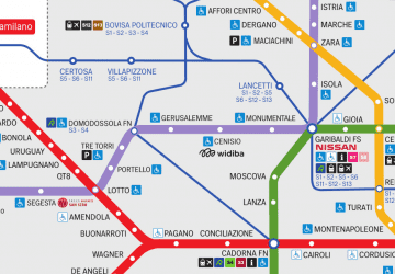
- Garibaldi FS • Lines: M2, M5 (5 min walk)
- Monumentale • Lines: M5 (8 min walk)
Trolleybus
- Via Bernina • Lines: 91, 92 (25 min walk)
- Viale Lancetti - Via Resegone • Lines: 92 (26 min walk)

 Metro
Metro


