Lungotevere Flaminio, Rome
Map
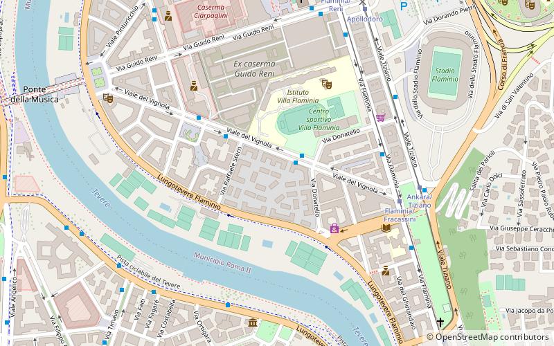
Map

Facts and practical information
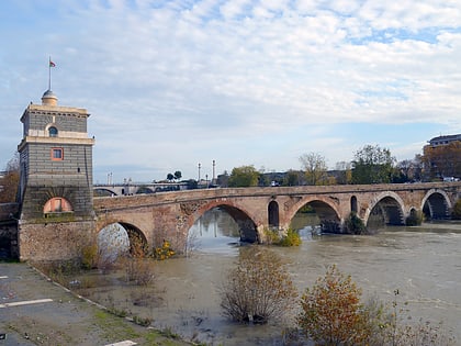
Lungotevere Flaminio is the stretch of Lungotevere that links Piazzale delle Belle Arti to Ponte Duca d'Aosta in Rome, in the Flaminio quarter. ()
Address
FlaminioRome
ContactAdd
Social media
Add
Day trips
Lungotevere Flaminio – popular in the area (distance from the attraction)
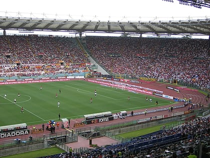
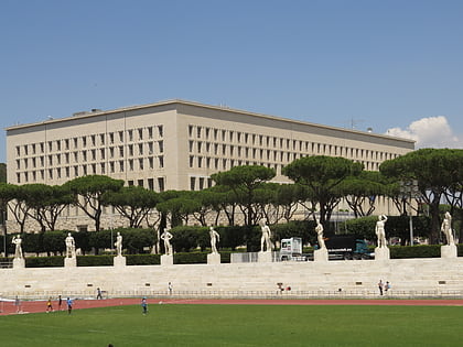
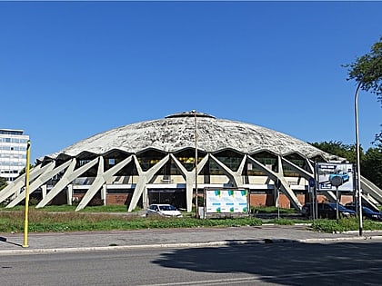
Nearby attractions include: Stadio Olimpico, MAXXI, Stadio Olimpico del Nuoto, Stadio dei Marmi.
Frequently Asked Questions (FAQ)
Which popular attractions are close to Lungotevere Flaminio?
Nearby attractions include Sant'Andrea in Via Flaminia, Rome (7 min walk), Basilica di Santa Croce a Via Flaminia, Rome (8 min walk), MAXXI, Rome (8 min walk), Catacombs of San Valentino, Rome (8 min walk).
How to get to Lungotevere Flaminio by public transport?
The nearest stations to Lungotevere Flaminio:
Bus
Tram
Light rail
Metro
Bus
- Vignola • Lines: 910, C3 (2 min walk)
- Melozzo da Forlì • Lines: 910, C3 (4 min walk)
Tram
- Flaminia/Fracassini • Lines: 2 (6 min walk)
- Ankara/Tiziano • Lines: 2 (6 min walk)
Light rail
- Euclide • Lines: Fc3 (19 min walk)
- Flaminio • Lines: Fc3 (24 min walk)
Metro
- Lepanto • Lines: A (24 min walk)
- Flaminio • Lines: A (25 min walk)

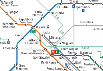 Metro / Tram / Rail