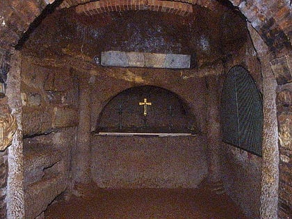
Catacombs of Saint Agnes, Nomentano
Map
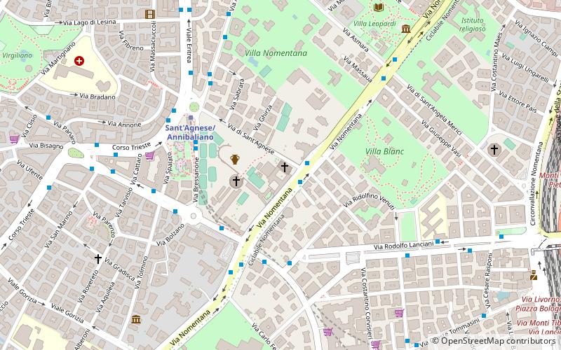
Map

Facts and practical information
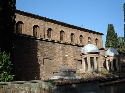
The Catacomb of Saint Agnes is one of the catacombs of Rome, placed at the second mile of via Nomentana, inside the monumental complex of Sant'Agnese fuori le mura, in the Quartiere Trieste. ()
Alternative names: Architectural style: Early christian architectureCoordinates: 41°55'22"N, 12°31'7"E
Address
TriesteNomentano
ContactAdd
Social media
Add
Day trips
Catacombs of Saint Agnes – popular in the area (distance from the attraction)
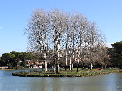
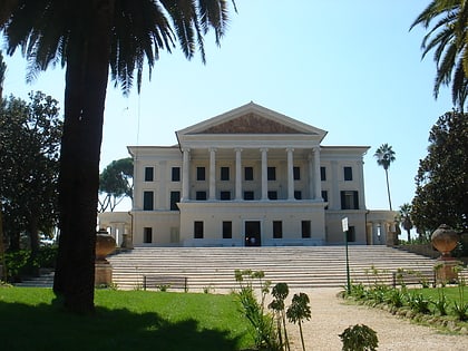
Nearby attractions include: Villa Torlonia, Villa Ada, Porta Pia, Mosque of Rome.
Frequently Asked Questions (FAQ)
Which popular attractions are close to Catacombs of Saint Agnes?
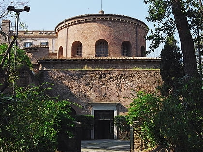
Nearby attractions include Sant'Agnese fuori le mura, Rome (1 min walk), Santa Costanza, Rome (3 min walk), Il Villaggio dei Galli, Rome (6 min walk), Chiesa di Nostra Signora del Santissimo Sacramento e dei Santi Martiri Canadesi, Rome (10 min walk).
How to get to Catacombs of Saint Agnes by public transport?
The nearest stations to Catacombs of Saint Agnes:
Bus
Trolleybus
Metro
Train
Tram
Light rail
Bus
- Nomentana/S. Agnese • Lines: 66, 82, n4 (1 min walk)
- S. Costanza/Nomentana • Lines: 168, 310, 544, n13, n2L (4 min walk)
Trolleybus
- Nomentana/XXI Aprile • Lines: 90 (5 min walk)
- Batteria Nomentana • Lines: 90 (15 min walk)
Metro
- Sant'Agnese/Annibaliano • Lines: B (5 min walk)
- Libia • Lines: B (16 min walk)
Train
- Roma Nomentana (19 min walk)
- Roma Tiburtina (27 min walk)
Tram
- V.le Regina Margherita/Nizza • Lines: 19, 3 (24 min walk)
- Regina Margherita/Galeno • Lines: 19, 3 (25 min walk)
Light rail
- Monte Antenne • Lines: Fc3 (41 min walk)
