Porta Magenta, Milan
Map
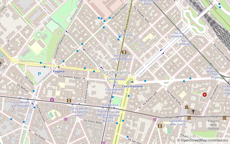
Map

Facts and practical information
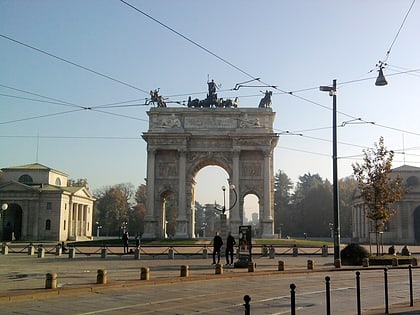
Porta Magenta, formerly known as Porta Vercellina, was one of the city gates of Milan, Italy. The gate was established in the 9th century, with the Roman walls of the city; it was moved with the medieval and Spanish walls, and was finally demolished in the 19th century. The phrase "Porta Magenta" is now used to refer to the district where the gate used to be; the district is part of the Zone 7 administrative division of Milan, west of the city centre. ()
Address
Zona 8 (Pagano)Milan
ContactAdd
Social media
Add
Day trips
Porta Magenta – popular in the area (distance from the attraction)
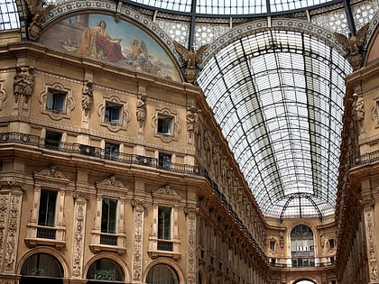
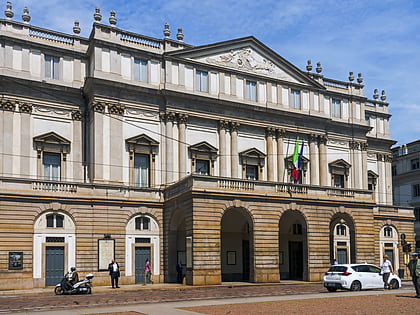
Nearby attractions include: Galleria Vittorio Emanuele II, Church of Holy Mary of Grace, Teatro alla Scala, Museo Nazionale Scienza e Tecnologia Leonardo da Vinci.
Frequently Asked Questions (FAQ)
Which popular attractions are close to Porta Magenta?
Nearby attractions include The Last Supper, Milan (8 min walk), Church of Holy Mary of Grace, Milan (8 min walk), Museo Nazionale Scienza e Tecnologia Leonardo da Vinci, Milan (12 min walk), San Vittore al Corpo, Milan (12 min walk).
How to get to Porta Magenta by public transport?
The nearest stations to Porta Magenta:
Tram
Bus
Metro
Train
Trolleybus
Tram
- Conciliazione M1 • Lines: 10 (1 min walk)
- Via Ariosto - Via Mascheroni • Lines: 10 (3 min walk)
Bus
- Conciliazione M1 • Lines: 50, 67, 68 (2 min walk)
- Via Guido d'Arezzo • Lines: 67 (3 min walk)
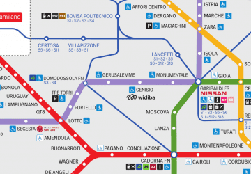
Metro
- Conciliazione • Lines: M1 (2 min walk)
- Pagano • Lines: M1 (6 min walk)
Train
- Milano Nord Cadorna (13 min walk)
- Milano Nord Domodossola (23 min walk)
Trolleybus
- Piazza Bolivar • Lines: 90, 91 (28 min walk)
- Piazza Napoli • Lines: 90, 91 (31 min walk)

 Metro
Metro