Sant'Alberto Magno, Rome
Map
Gallery
Facts and practical information
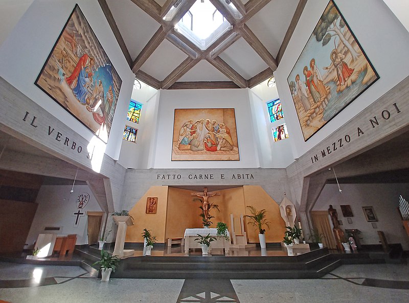
The church of Sant'Alberto Magno is a church in Rome, in Via delle Vigne Nuove in Rome Municipio III, dedicated to Saint Albertus Magnus. The Church is the seat of the title of "Sant'Alberto Magno", established 19 November 2016 by Pope Francis. Anthony Soter Fernandez is the first cardinal protector and the incumbent since November 2016. ()
Address
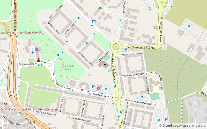
653 Via delle Vigne NuoveMonte Sacro-Val MelainaRome
ContactAdd
Social media
Add
Day trips
Sant'Alberto Magno – popular in the area (distance from the attraction)
Nearby attractions include: Rome Italy Temple, Chiesa di Santa Maria della Speranza, San Frumenzio ai Prati Fiscali, Val Melaina.
Frequently Asked Questions (FAQ)
Which popular attractions are close to Sant'Alberto Magno?
Nearby attractions include Rome Italy Temple, Rome (17 min walk), Chiesa di Santa Maria della Speranza, Rome (20 min walk).
How to get to Sant'Alberto Magno by public transport?
The nearest stations to Sant'Alberto Magno:
Bus
Trolleybus
Bus
- Vigne Nuove/De Liguoro • Lines: 338, 38, C5, n13 (2 min walk)
- Bertinazzi • Lines: 334, 341, 350, 80 (3 min walk)
Trolleybus
- Vimercati/Ateneo Salesiano • Lines: 90 (18 min walk)
- Talli/Benti Bulgarelli • Lines: 90 (21 min walk)

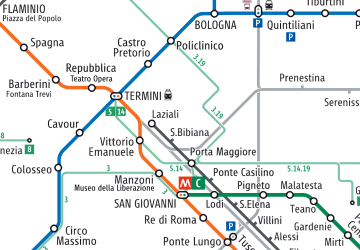 Metro / Tram / Rail
