Ghisolfa, Milan

Map
Facts and practical information
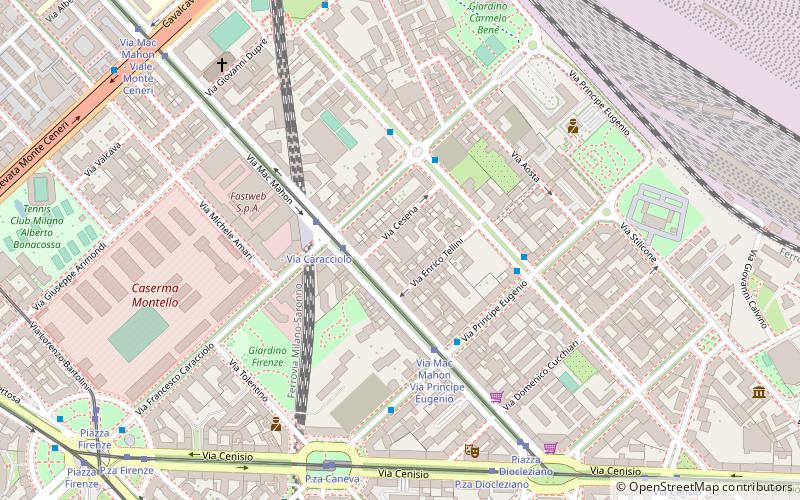
Ghisolfa is a district of Milan, Italy, part of the Zone 8 administrative division of the city, located north-west of the city centre. It is named after the "Ghisolfa Bridge" overpass, part of the external Circonvallazione ring road enclosing the centre of Milan. In turn, the bridge was named after two cascine, "Cascina Ghisolfa" and "Cascina Ghisolfetta", that existed in the area before the urbanization of the mid 20th century. The bridge was completed in 1941, prolonged in the 1960s, and enlarged in the 1990s. ()
Address
Zona 8 (Ghisolfa)Milan
ContactAdd
Social media
Add
Day trips
Ghisolfa – popular in the area (distance from the attraction)
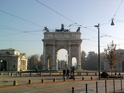
Nearby attractions include: Cimitero Monumentale, Palazzina Appiani, Arena Civica, Via Paolo Sarpi.
Frequently Asked Questions (FAQ)
Which popular attractions are close to Ghisolfa?
Nearby attractions include Quartiere Campo dei Fiori, Milan (16 min walk), Velodromo Vigorelli, Milan (18 min walk), Cimitero Monumentale, Milan (20 min walk), Bovisa, Milan (21 min walk).
How to get to Ghisolfa by public transport?
The nearest stations to Ghisolfa:
Tram
Bus
Trolleybus
Metro
Train
Tram
- Via Mac Mahon - Via Caracciolo • Lines: 12 (2 min walk)
- Piazza Diocleziano • Lines: 12 (6 min walk)
Bus
- Via Govone - Via Caracciolo • Lines: 78 (3 min walk)
- Via Principe Eugenio - Via Mac Mahon • Lines: 78 (4 min walk)
Trolleybus
- Via Mac Mahon - Viale Monte Ceneri • Lines: 91 (9 min walk)
- Piazzale Lugano • Lines: 90, 91 (14 min walk)
Metro
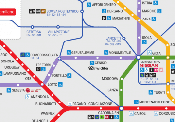
- Gerusalemme • Lines: M5 (13 min walk)
- Cenisio • Lines: M5 (13 min walk)
Train
- Milano Nord Domodossola (18 min walk)
- Milano Lancetti (19 min walk)
 Metro
Metro


