Servian Wall, Nomentano
Map
Gallery
Facts and practical information
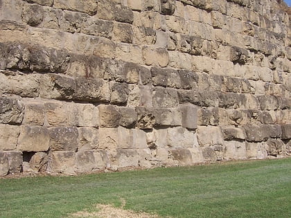
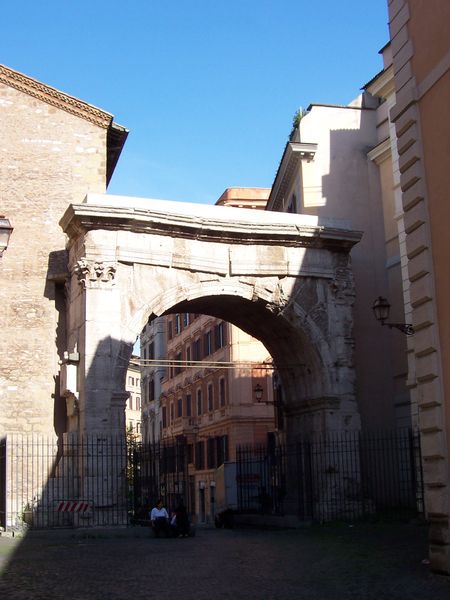
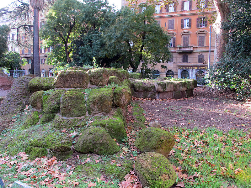
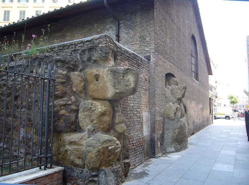
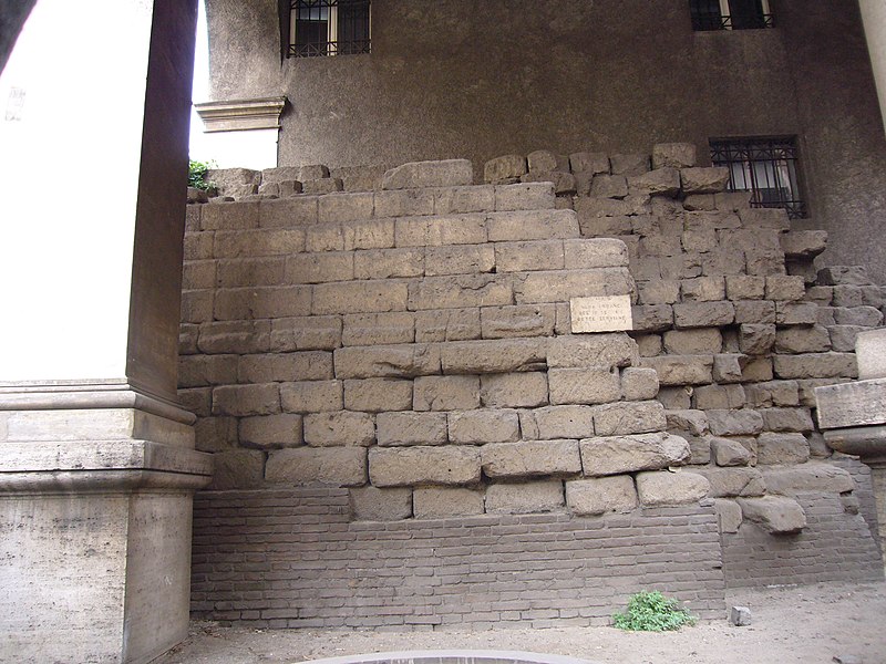
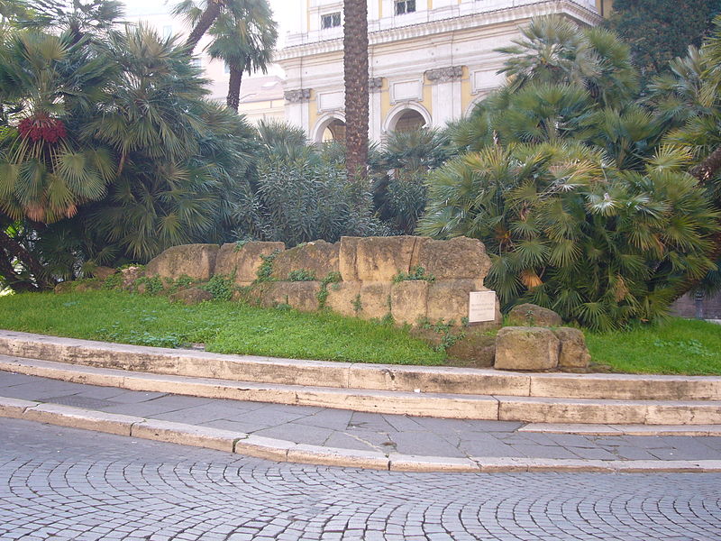
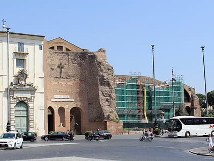
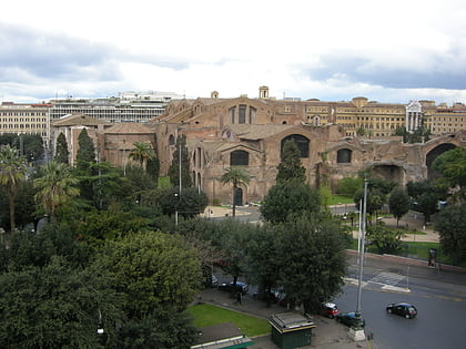
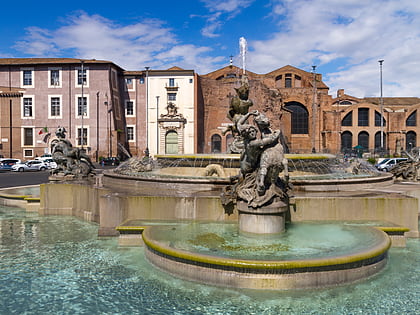
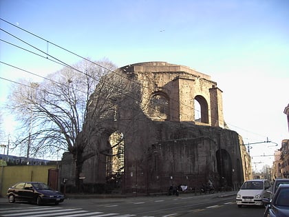
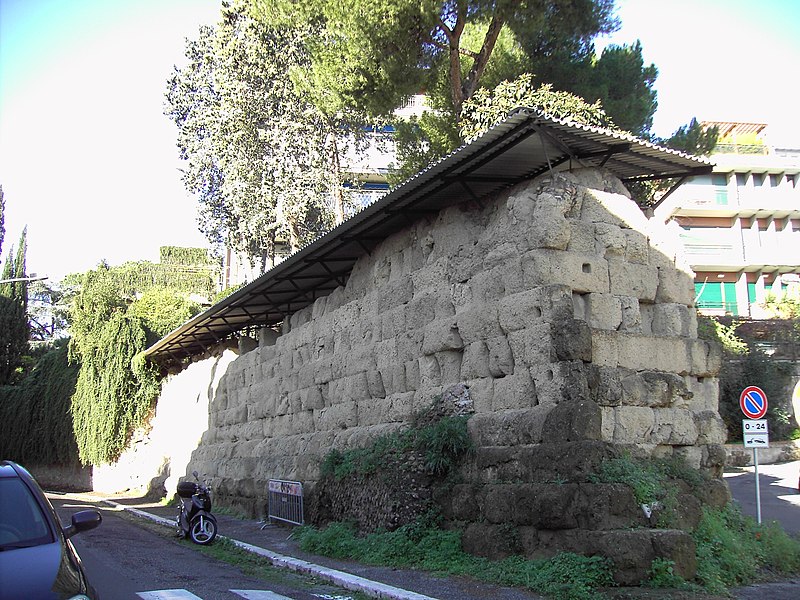
The Servian Wall was an ancient Roman defensive barrier constructed around the city of Rome in the early 4th century BC. The wall was built of volcanic tuff and was up to 10 m in height in places, 3.6 m wide at its base, 11 km long, and is believed to have had 16 main gates, of which only one or two have survived, and enclosed a total area of 246 hectares. In the 3rd century AD it was superseded by the construction of the larger Aurelian Walls as the city of Rome grew beyond the boundary of the Servian Wall. ()
Address
EsquilinoNomentano
ContactAdd
Social media
Add
Day trips
Servian Wall – popular in the area (distance from the attraction)
Nearby attractions include: National Roman Museum, Santa Maria Maggiore, Palazzo Barberini, National Roman Museum.
Frequently Asked Questions (FAQ)
Which popular attractions are close to Servian Wall?
Nearby attractions include Sacro Cuore di Gesù a Castro Pretorio, Rome (2 min walk), Castro Pretorio, Nomentano (3 min walk), Quirinal Palace, Rome (4 min walk), National Roman Museum, Rome (5 min walk).
How to get to Servian Wall by public transport?
The nearest stations to Servian Wall:
Metro
Bus
Train
Light rail
Tram
Trolleybus
Metro
- Termini • Lines: A, B (2 min walk)
- Repubblica • Lines: A (8 min walk)
Bus
- [Terra-vision] Buses for Rome Airport (3 min walk)
- Sit Bus for Rome's Airports (3 min walk)
Train
- Roma Termini (3 min walk)
Light rail
- Roma Termini • Lines: Fl6, Fl7 (3 min walk)
- Termini Laziali • Lines: Fc1 (11 min walk)
Tram
- Termini • Lines: 14, 5 (4 min walk)
- Farini • Lines: 14, 5 (7 min walk)
Trolleybus
- Volturno/Cernaia • Lines: 90 (8 min walk)
- XX Settembre/Min. Finanze • Lines: 90 (10 min walk)
