Ponte della Libertà, Venice
Map
Gallery
Facts and practical information
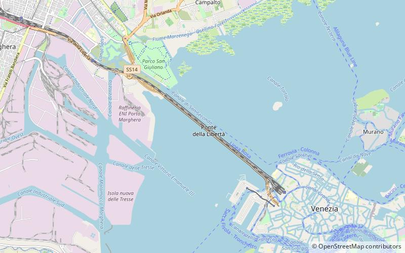
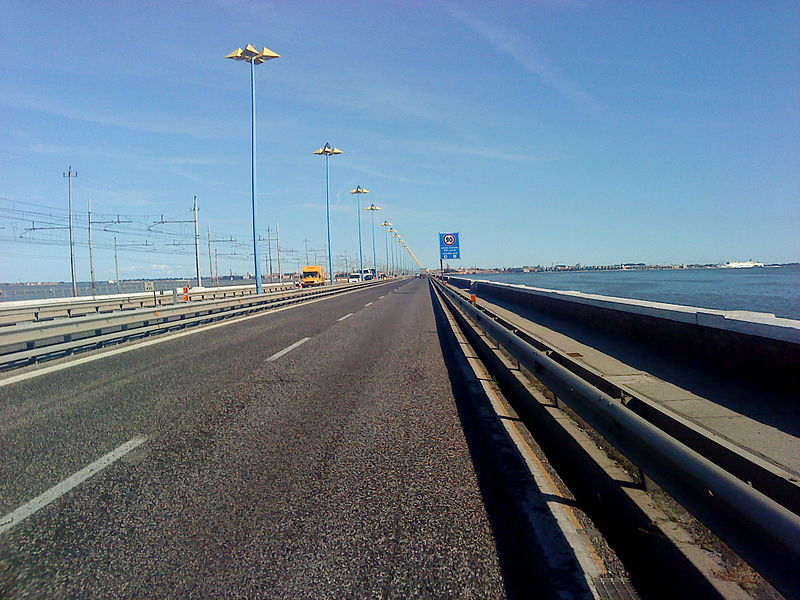
Ponte della Libertà is a road bridge connecting the islands that form the historical centre of the city of Venice to the mainland part of the city. ()
Address
Venice
ContactAdd
Social media
Add
Day trips
Ponte della Libertà – popular in the area (distance from the attraction)
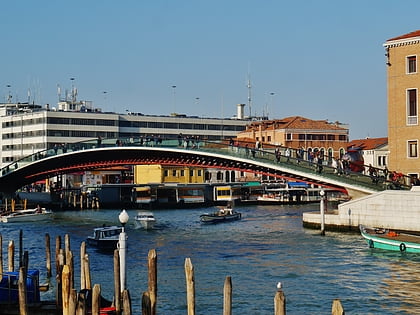
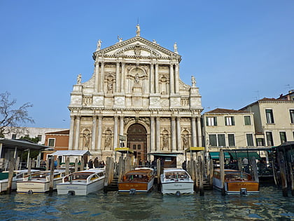
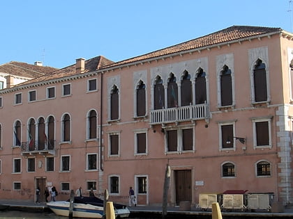
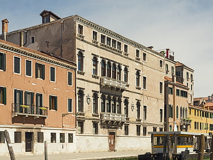
Nearby attractions include: Ponte degli Scalzi, Palazzo Surian Bellotto, Ponte della Costituzione, Scalzi.
Frequently Asked Questions (FAQ)
How to get to Ponte della Libertà by public transport?
The nearest stations to Ponte della Libertà:
Bus
Train
Ferry
Bus
- Venice Tronchetto • Lines: 400, 401, 405, 413, 481, 482, 491, 536, 537, 541, 907, 977, N1545, N277, N401, N405, N406, N467, N482, N491, N535, N536, N729, N740, N907 (32 min walk)
- Libertà Santa Chiara • Lines: 12L, 19, 2, 24, 24B, 24H, 4, 43, 4L, 5, 53E, 6, 6L, 7, 7E, 7L (40 min walk)
Train
- Tronchetto (32 min walk)
- Marittima (39 min walk)
Ferry
- Tronchetto • Lines: 2 (34 min walk)


