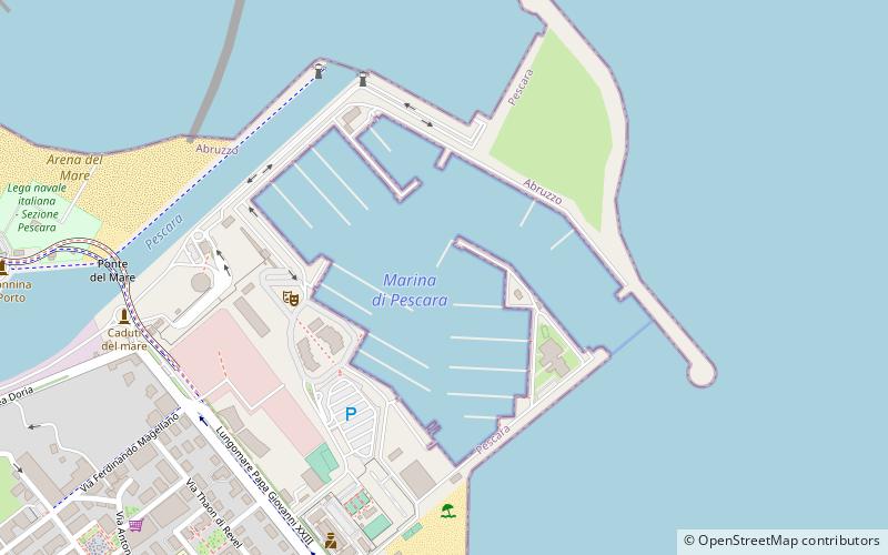
Port of Pescara, Pescara
Map

Map

Facts and practical information
The port of Pescara is an Italian port on the Adriatic Sea at the mouth of the River Pescara in the city of Pescara. It is located at latitude 28.14 north and longitude 42 ° 14 ° 13 ', 78 East ()
Day trips
Port of Pescara – popular in the area (distance from the attraction)
Nearby attractions include: Stadio Adriatico – Giovanni Cornacchia, Basilio Cascella Civic Museum, Museo delle Genti d'Abruzzo, Birthplace of Gabriele D'Annunzio Museum.
Frequently Asked Questions (FAQ)
Which popular attractions are close to Port of Pescara?
Nearby attractions include Ponte del Mare, Pescara (9 min walk), Stadio Adriatico – Giovanni Cornacchia, Pescara (21 min walk), Basilio Cascella Civic Museum, Pescara (21 min walk), Aurum - La Fabbrica delle Idee, Pescara (24 min walk).
How to get to Port of Pescara by public transport?
The nearest stations to Port of Pescara:
Bus
Train
Bus
- Viale Conte Di Ruvo, civ.24 • Lines: 38 (23 min walk)
- Piazza Duca d'Aosta, Civ.9 Comune Est. • Lines: 12 (25 min walk)
Train
- Pescara Porta Nuova (30 min walk)


