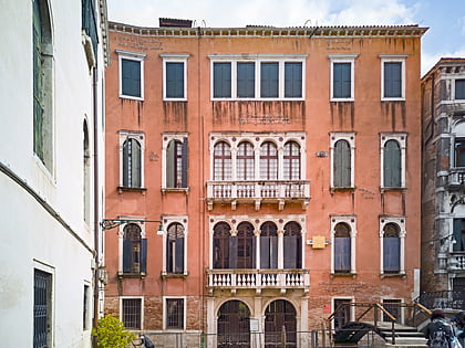
San Pietro di Castello Island, Venice
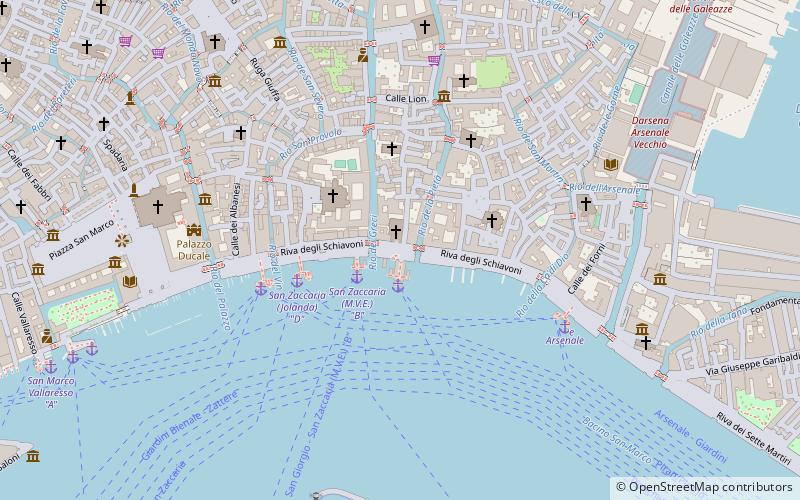
Map
Facts and practical information
Address
CastelloVenice
ContactAdd
Social media
Add
Day trips
San Pietro di Castello Island – popular in the area (distance from the attraction)
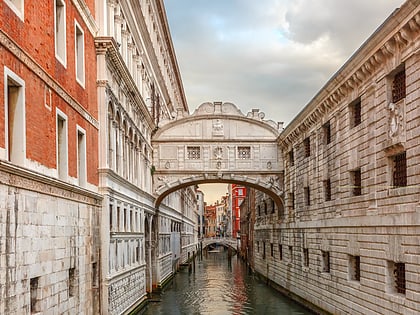
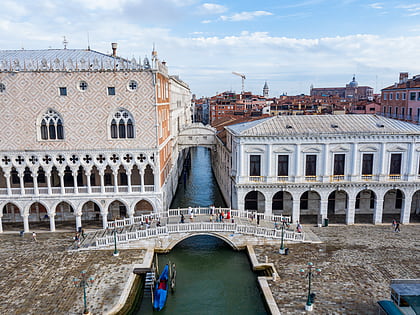
Nearby attractions include: Doge's Palace, Bridge of Sighs, St Mark's Basilica, Portrait of the Four Tetrarchs.
Frequently Asked Questions (FAQ)
Which popular attractions are close to San Pietro di Castello Island?
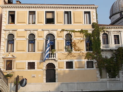
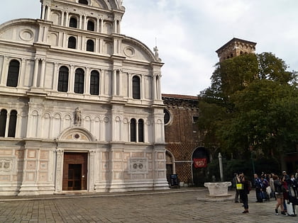
Nearby attractions include Santa Maria della Pietà, Venice (1 min walk), Palazzo Molina, Venice (1 min walk), San Zaccaria, Venice (3 min walk), San Giovanni in Bragora, Venice (3 min walk).
How to get to San Pietro di Castello Island by public transport?
The nearest stations to San Pietro di Castello Island:
Ferry
Train
Ferry
- San Zaccaria A • Lines: 14, 15 (1 min walk)
- San Zaccaria B • Lines: 2 (2 min walk)
Train
- Venezia Santa Lucia (33 min walk)

