Castor Mountain
Map

Gallery

Facts and practical information
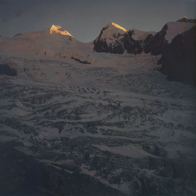
Castor is a mountain in the Pennine Alps on the border between Valais, Switzerland and the Aosta Valley in Italy. It is the higher of a pair of twin peaks, the other being Pollux, named after the Gemini twins of Roman mythology. Castor's peak is at an elevation of 4,223 m, and it lies between Breithorn and the Monte Rosa. It is separated from Pollux by a pass at 3,847 m, named Passo di Verra in Italian and Zwillingsjoch in German. ()
Local name: Castore First ascent: 1861Elevation: 13855 ftProminence: 541 ftCoordinates: 45°55'0"N, 7°46'60"E
Location
Aosta Valley
ContactAdd
Social media
Add
Day trips
Castor Mountain – popular in the area (distance from the attraction)
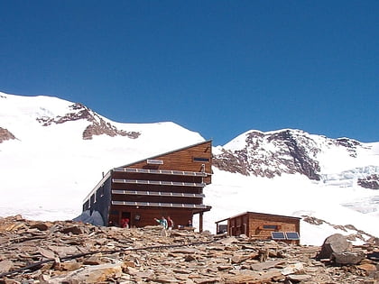
Nearby attractions include: Roccia Nera, Rifugio Quintino Sella, Refuge Ottorino Mezzalama, Rifugio Guide d'Ayas.


