San Polo, Venice
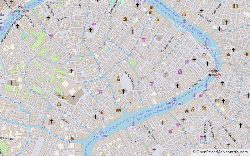
Map
Map

Facts and practical information
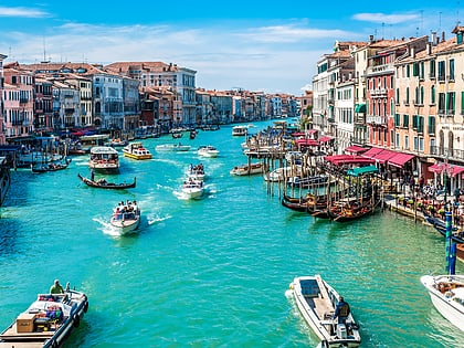
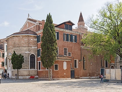
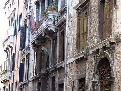
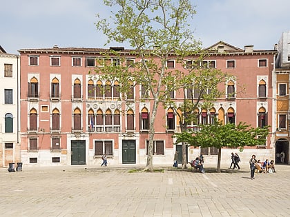
San Polo is the smallest and most central of the six sestieri of Venice, northern Italy, covering 86 acres along the Grand Canal. It is one of the oldest parts of the city, having been settled before the ninth century, when it and San Marco formed part of the Realtine Islands. The sestiere is named for the Church of San Polo. ()
Address
San PoloVenice
ContactAdd
Social media
Add
Day trips
San Polo – popular in the area (distance from the attraction)
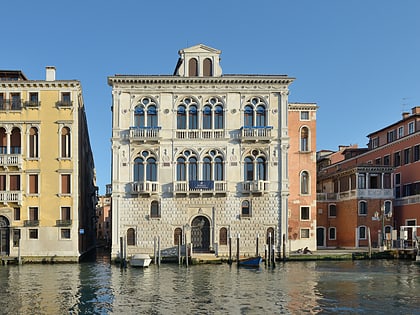
Nearby attractions include: Grand Canal, Palazzo D'Anna Viaro Martinengo Volpi di Misurata, Palazzo Corner Spinelli, Palazzo Tiepolo Passi.
Frequently Asked Questions (FAQ)
Which popular attractions are close to San Polo?
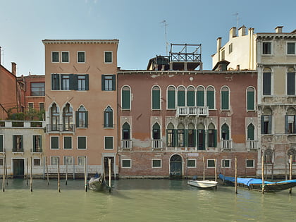
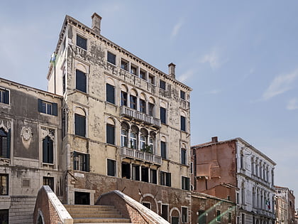
Nearby attractions include Palazzo Soranzo, Venice (1 min walk), Ca' Sanudo Turloni, Venice (2 min walk), Ponte delle Tette, Venice (3 min walk), Palazzo Querini Dubois, Venice (3 min walk).
How to get to San Polo by public transport?
The nearest stations to San Polo:
Ferry
Train
Bus
Tram
Ferry
- Sant'Angelo • Lines: 1, A (4 min walk)
- San Silvestro • Lines: 1 (5 min walk)
Train
- Venezia Santa Lucia (13 min walk)
- Piazzale Roma (16 min walk)
Bus
- Venezia B1 • Lines: 10, 19, 72 (14 min walk)
- Venezia A1 • Lines: 5 (14 min walk)
Tram
- Piazzale Roma • Lines: T1 (14 min walk)

