Schronisko PTTK Jaworzec

Gallery (1)
Map
Map
Facts and practical information
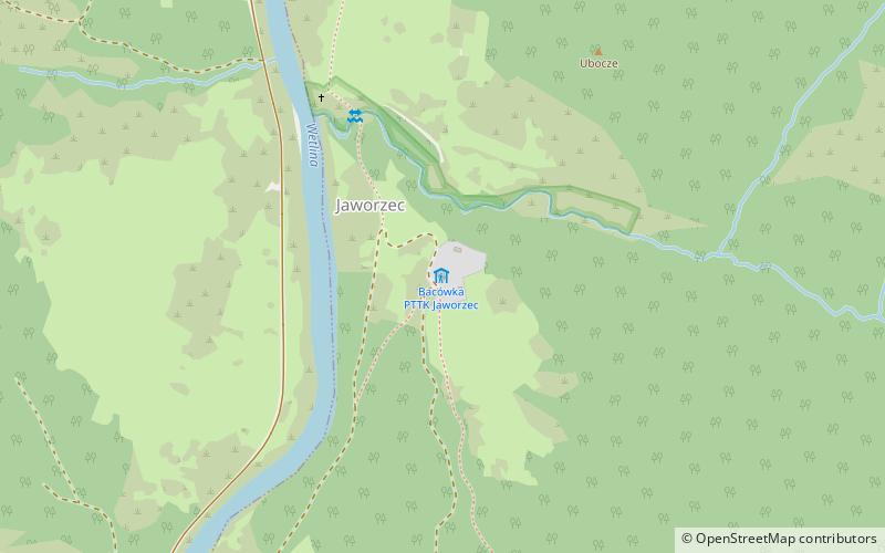
PTTK "Jaworzec" tourist hostel. - PTTK tourist hostel located in the non-existent village of Jaworzec in the Wetlina valley in the Cisna commune. The hostel was built between 1974-1976 as the first hut in the Bieszczady Mountains.
The hostel offers accommodation in 1,2,3,5 as well as 8 and 9-bed rooms. It is also equipped with sanitary facilities and a buffet. The hut is not electrified; after dark a generator is turned on.
Coordinates: 49°13'19"N, 22°26'31"E
Day trips


