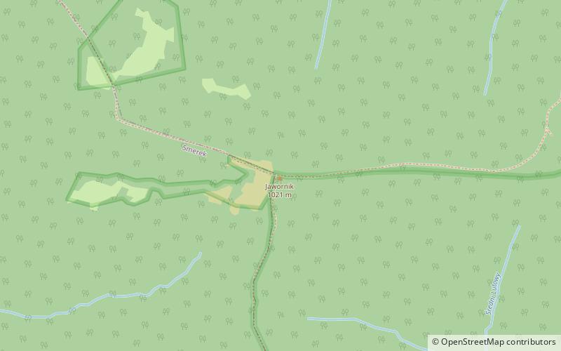
Jawornik, Bieszczady National Park
Map

Map

Facts and practical information
Javornik - a peak in the side ridge of the border range of the Western Bieszczady Mountains, diverging from Riabia Skała to the north. It rises 400 m above the village of Wetlina. It is completely covered with beech forest. A narrow pass separates it from Paportna peak.
There is also another peak of the same name in the Bieszczady Mountains - Javorník in the Polonia range.
Coordinates: 49°8'7"N, 22°27'22"E
Address
Bieszczady National Park
ContactAdd
Social media
Add
Day trips
Jawornik – popular in the area (distance from the attraction)
Nearby attractions include: Kremenec mountain, Ďurkovec mountain, Hasiakowa Skała, Wielka Rawka.


