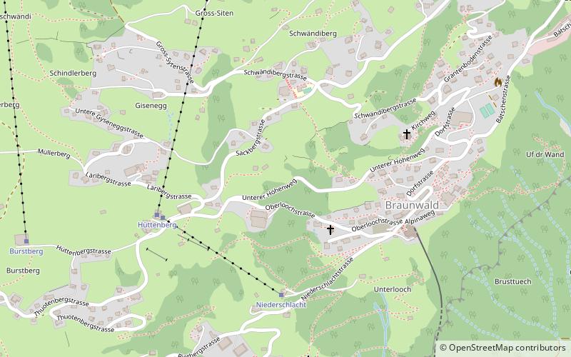
Braunwald
#1767 among destinations in Switzerland

Facts and practical information
Braunwald is a car-free resort village in the municipality of Glarus Süd and canton of Glarus in Switzerland. ()
Braunwald plan & book
Unleash the traveler in you — discover the cheapest flight deals, find the perfect hotel or hostel nearby, and search for the best car rental prices. Travel at your own pace to discover new places and enjoy your journey.
Braunwald – popular in the area (distance from the attraction)
Nearby attractions include: Garichtisee, Oberblegisee, Glarus Süd, Glärnisch.
 Nature, Natural attraction, Lake
Garichtisee
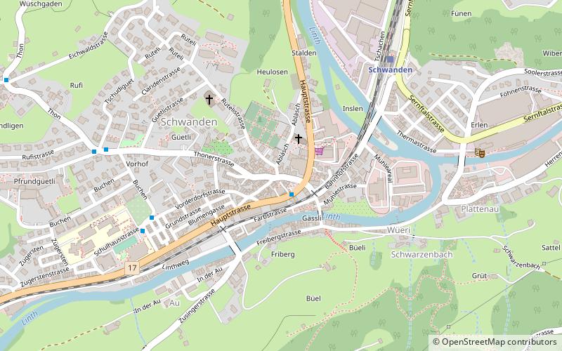
130 min walk • Garichtisee is a reservoir on Mettmenalp above Schwanden in the Canton of Glarus, Switzerland. The lake's surface area is 16 ha.
 Nature, Natural attraction, Lake
Oberblegisee
75 min walk • Oberblegisee is a lake in the Canton of Glarus, Switzerland. It is located at an elevation of 1,422 metres, above the village of Luchsingen and below the peaks of Glärnisch. Its surface area is 0.17 square kilometres.
 Area
AreaGlarus Süd, Glarus
136 min walk • Glarus Süd is a municipality in the Swiss canton of Glarus. It comprises the upper Linth valley, and the entire Sernf valley, and includes the villages of Betschwanden, Braunwald, Diesbach, Elm, Engi, Haslen, Hätzingen, Leuggelbach, Linthal, Luchsingen, Matt, Mitlödi, Nidfurn, Rüti, Schwanden, Schwändi and Sool.
 Nature, Natural attraction, Mountain
Glärnisch
105 min walk • The Glärnisch is a mountain massif of the Schwyz Alps, overlooking the valley of the Linth in the Swiss canton of Glarus. It consists of several summits, of which the highest, Bächistock, is 2,915 metres above sea level.
 Nature, Natural attraction, Mountain
Ortstock
62 min walk • The Ortstock is a mountain in the Schwyzer Alps, located at an elevation of 2,717 m on the border between the cantons of Schwyz and Glarus. It overlooks Braunwald and Linthal on its east side, while the west side overlooks the high valley of Glattalp.
 Nature, Natural attraction, Mountain
Kärpf
126 min walk • The Kärpf is a mountain in the Glarus Alps, at an elevation of 2,794 m. The Kärpf is the highest point of the massif lying north of Richetli Pass.
 Nature, Natural attraction, Lake
Muttsee
141 min walk • Muttsee is a reservoir in the Canton of Glarus, Switzerland. Its surface area is 42 ha. It is used to supply water for the hydroelectric Linth–Limmern Power Stations.
 Nature, Natural attraction, Mountain
Hausstock
144 min walk • The Hausstock is a mountain in the Glarus Alps, at an elevation of 3,158 m on the border between the cantons of Glarus and Graubünden. It overlooks the valleys of Linth and Sernf rivers in Glarus, and the valley of the Vorderrhein river in Graubünden.
 Nature, Natural attraction, Mountain
Gemsfairenstock
168 min walk • The Gemsfairenstock is a mountain of the Glarus Alps, located on the border between the Swiss cantons of Uri and Glarus. It lies east of the Klausen Pass, on the range east of the Clariden. A trail leads to its summit via the western ridge.
 Nature, Natural attraction, Mountain
Silberen
148 min walk • The Silberen is a mountain of the Schwyzer Alps, located east of the Pragel Pass in the canton of Schwyz. On its eastern side the mountain overlooks the lake of Klöntal. The summit consists of a large karstic plateau. The name, meaning silver in English, derives from the light color of the bare rock.
 Nature, Natural attraction, Mountain
Höch Turm
73 min walk • The Höch Turm is a mountain in the Schwyzer Alps, located in an elevation of 2,666 m. It lies west of the resort village of Braunwald on the karstic range between the valleys of Muota and Linth.


