Clariden
Map

Map

Facts and practical information
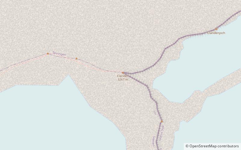
The Clariden is a mountain in the Glarus Alps, located at an elevation of 3,267 m between the Swiss cantons of Uri and Glarus. While on the north the Clariden overlooks the 1,948 m high Klausen Pass, the south side is covered by large glaciers. The Hüfifirn on the west is drained by the Chärstelenbach, a tributary of the Reuss that eventually flows into Lake Lucerne. The Claridenfirn on the east is drained by the Linth that eventually flows into Lake Zürich. ()
Location
Glarus
ContactAdd
Social media
Add
Day trips
Clariden – popular in the area (distance from the attraction)
Nearby attractions include: Tödi, Gemsfairenstock, Bifertenstock, Schärhorn.


