Hüfi Glacier
#1490 among destinations in Switzerland

Facts and practical information
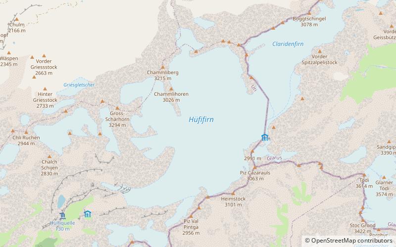
The Hüfi Glacier is a 7 km long glacier situated in the Glarus Alps in the canton of Uri in Switzerland. In 1973 it had an area of 13.64 km2. ()
UriSwitzerland
Hüfi Glacier plan & book
Unleash the traveler in you — discover the cheapest flight deals, find the perfect hotel or hostel nearby, and search for the best car rental prices. Travel at your own pace to discover new places and enjoy your journey.
Hüfi Glacier – popular in the area (distance from the attraction)
Nearby attractions include: Golzerensee, Tödi, Clariden, Gemsfairenstock.
 Nature, Natural attraction, Lake
Golzerensee
165 min walk • Golzerensee is a lake at Golzeren in the Canton of Uri, Switzerland. Its surface area is 5.7 ha. Golzeren is located in the Maderanertal and can be reached by cable car from Bristen. The lake is a popular fishing location. Species include brown trout, rainbow trout, and perch.
 Nature, Natural attraction, Mountain
Tödi
73 min walk • The Tödi, is a mountain massif and with the mountain peak Piz Russein the highest mountain in the Glarus Alps and the highest summit in the canton of Glarus, Switzerland.
 Nature, Natural attraction, Mountain
Clariden
37 min walk • The Clariden is a mountain in the Glarus Alps, located at an elevation of 3,267 m between the Swiss cantons of Uri and Glarus. While on the north the Clariden overlooks the 1,948 m high Klausen Pass, the south side is covered by large glaciers.
 Nature, Natural attraction, Mountain
Gemsfairenstock
98 min walk • The Gemsfairenstock is a mountain of the Glarus Alps, located on the border between the Swiss cantons of Uri and Glarus. It lies east of the Klausen Pass, on the range east of the Clariden. A trail leads to its summit via the western ridge.
 Nature, Natural attraction, Mountain
Bifertenstock
126 min walk • The Bifertenstock is a mountain in the Glarus Alps, located at an elevation of 3,419 m on the border between the cantons of Glarus and Graubünden, its peak, however, is located about 25 metres south of the border.
 Nature, Natural attraction, Mountain
Schärhorn
35 min walk • The Schärhorn is a mountain in the Glarus Alps near Klausen Pass. The highest summit is named Gross Schärhorn while a second summit is named Chli Schärhorn.
 Hiking, Alpine hut
Planura Hut
29 min walk • The Planura Hut is a mountain hut of the Swiss Alpine Club, located on the border between the cantons of Uri and Glarus, between Amsteg and Linthal.
 Nature, Natural attraction, Scenic drives
Klausen Pass, Altdorf
82 min walk • Klausen Pass is a high mountain pass in the Swiss Alps connecting Altdorf in the canton of Uri with Linthal in the canton of Glarus.
 Nature, Natural attraction, Mountain
Glatten Mountain
103 min walk • The Glatten is a mountain of the Schwyzer Alps, overlooking the Klausen Pass in the canton of Uri. It is the tripoint between the valleys Bisistal, Schächental and Urner Boden. The summit consists of a large karstic plateau.
 Nature, Natural attraction, Valley
Maderanertal
159 min walk • The Maderanertal is an Alpine valley of the canton of Uri in Central Switzerland. It is drained by the Chärstelenbach, a stream that is a right tributary of the Reuss at Amsteg.
 Nature, Natural attraction, Mountain
Düssi
67 min walk • The Düssi is a mountain in the Glarus Alps in central Switzerland, located on the border between the cantons of Uri and Graubünden. Its massif separates the valleys of Maderanertal and Val Russein. The summit is also named Gross Düssi to distinguish it from a lower summit to the south named Chli Düssi.


