Chammliberg
Map

Map

Facts and practical information
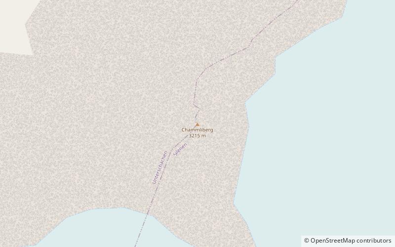
The Chammliberg is a mountain of the Glarus Alps, located south of the Klausen Pass in the canton of Uri. While the south side of the mountain is covered by the large Hüfi Glacier, the north-west side consists of an 800 metre high face. ()
Location
Uri
ContactAdd
Social media
Add
Day trips
Chammliberg – popular in the area (distance from the attraction)
Nearby attractions include: Tödi, Clariden, Gemsfairenstock, Schärhorn.


