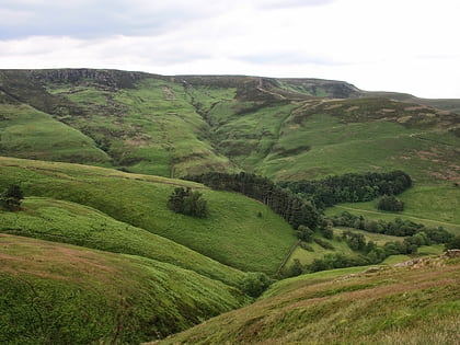
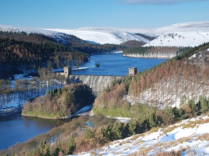
Derwent Reservoir, Peak District
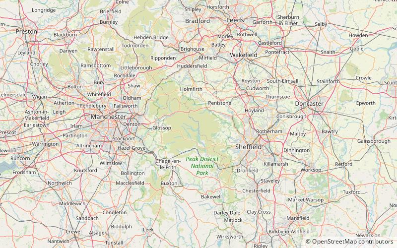
Map

Gallery
Facts and practical information
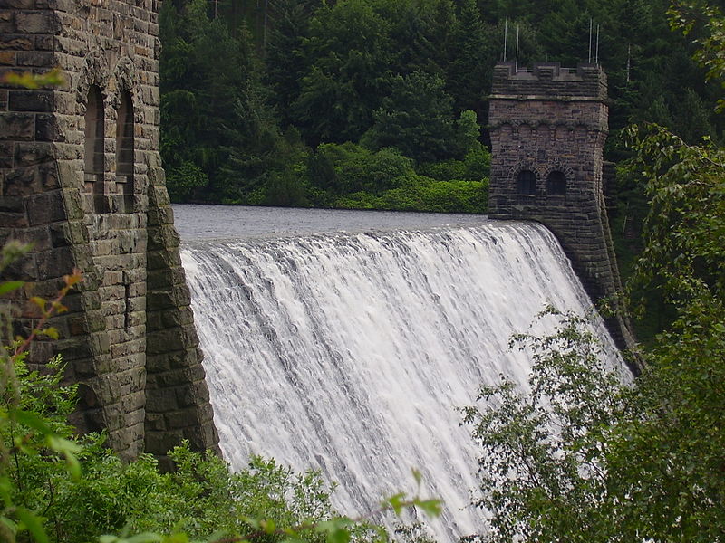
Derwent Reservoir is the middle of three reservoirs in the Upper Derwent Valley in the north of Derbyshire, England. It lies approximately 10 miles from Glossop and 10 miles from Sheffield. The River Derwent flows first through Howden Reservoir, then Derwent Reservoir and finally through Ladybower Reservoir. Between them they provide practically all of Derbyshire's water, as well as to a large part of South Yorkshire and as far afield as Nottingham and Leicester. ()
Alternative names: Length: 1.9 miWidth: 984 ftMaximum depth: 114 ftElevation: 771 ft a.s.l.Coordinates: 53°24'54"N, 1°44'42"W
Address
Peak District
ContactAdd
Social media
Add
Day trips
Derwent Reservoir – popular in the area (distance from the attraction)
Nearby attractions include: Pennine Way, Blue John Cavern, Mam Tor, Ladybower Reservoir.

