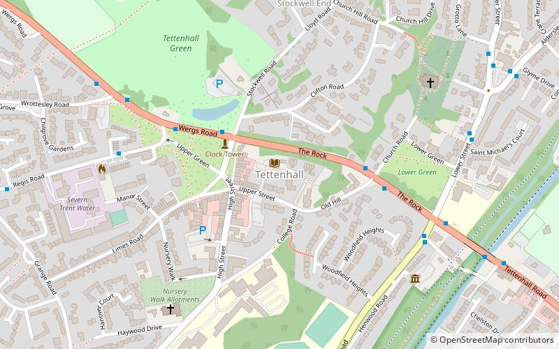
Tettenhall Green, Wolverhampton
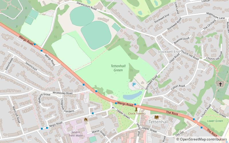
Map
Facts and practical information
Tettenhall Regis is a ward of Wolverhampton City Council, West Midlands. The population of this ward at the 2011 census was 11,911. ()
Elevation: 472 ft a.s.l.Coordinates: 52°36'3"N, 2°10'12"W
Address
Tettenhall RegisWolverhampton
ContactAdd
Social media
Add
Getting there by public transportation
Public transportation stops near this location
- Bus
 Bus
Bus
- Calculate routeWergs Rd / Wrottesley Rd 3 min walk
- Calculate routeWergs Rd / Regis Rd 3 min walk
- Calculate routeRegis Rd / The Poynings 4 min walk
- Calculate routeWergs Rd / Danescourt Rd 7 min walk
Day trips


Frequently Asked Questions (FAQ)
How to get to Tettenhall Green by public transport?
The nearest stations to Tettenhall Green:
Bus
Bus
- Wergs Rd / Wrottesley Rd • Lines: 763, 784, 891 (3 min walk)
- Wergs Rd / Regis Rd • Lines: 1, 763, 784, 891 (3 min walk)