Tettenhall, Wolverhampton

Map
Facts and practical information
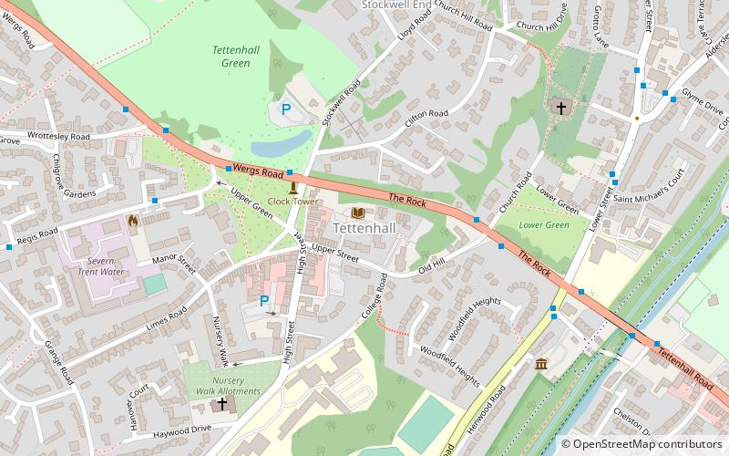
Tettenhall is an historic village within the City of Wolverhampton, England. The name Tettenhall is probably derived from "Teotta's Halh", Teotta being a person's name and Halh being a sheltered position. Tettenhall became part of Wolverhampton in 1966, along with Bilston, Wednesfield and parts of Willenhall, Coseley and Sedgley. ()
Address
Tettenhall WightwickWolverhampton
ContactAdd
Social media
Add
Day trips
Tettenhall – popular in the area (distance from the attraction)
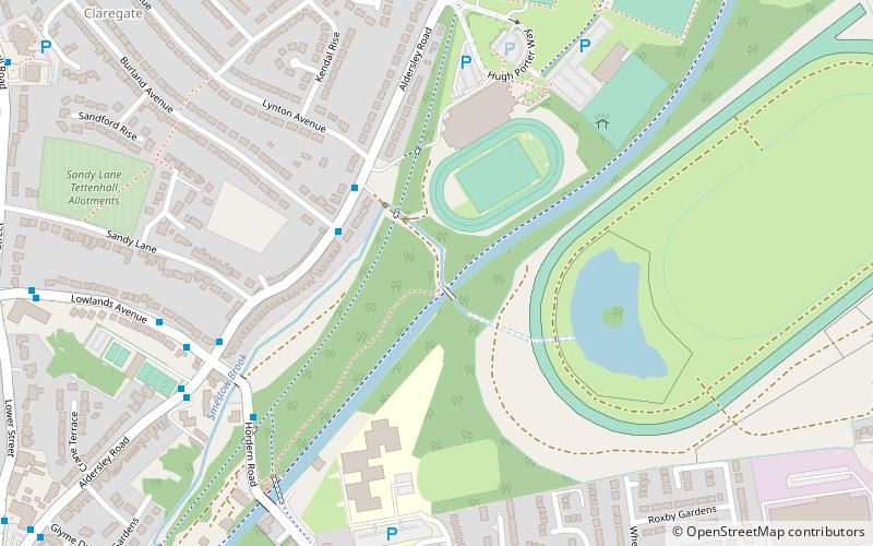
Nearby attractions include: Wolverhampton Racecourse, Wightwick Manor, Aldersley Junction, Autherley Junction.
Frequently Asked Questions (FAQ)
How to get to Tettenhall by public transport?
The nearest stations to Tettenhall:
Bus
Bus
- Wergs Rd / Regis Rd • Lines: 1, 763, 784, 891 (4 min walk)
- The Rock / Old Hill • Lines: 1, 62, 62A, 763, 784, 891 (4 min walk)


