Dovecotes, Wolverhampton
Map
Facts and practical information
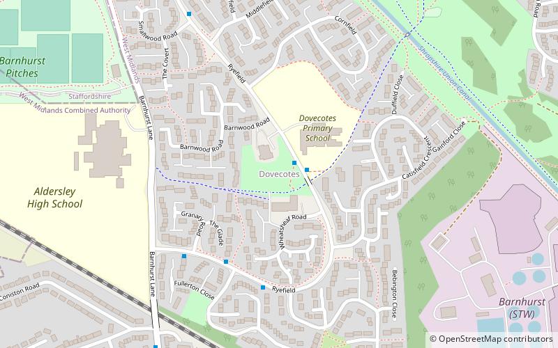
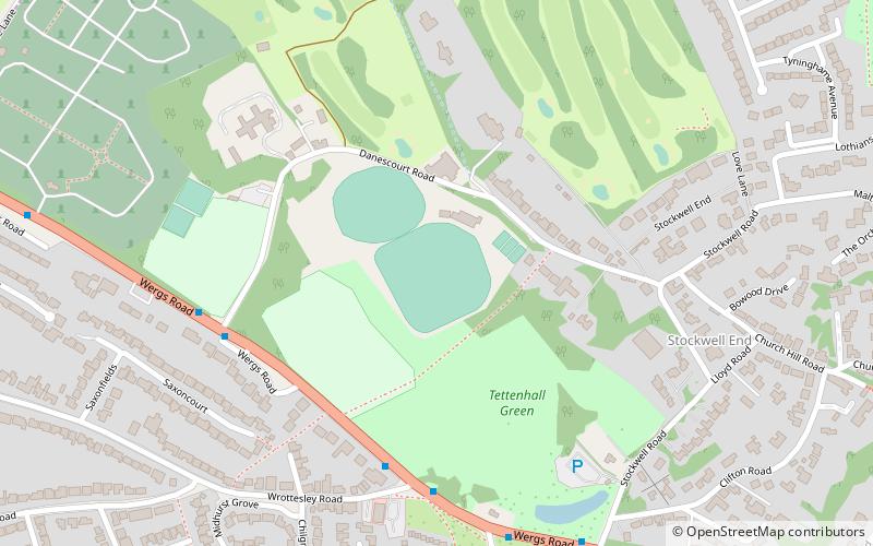
Dovecotes is a housing estate at Pendeford, Wolverhampton, West Midlands, England. It is situated NNW of the city centre and neighbours Pendeford Park which is adjacent to the border with Staffordshire, within the Oxley ward of Wolverhampton City Council. ()
Coordinates: 52°37'4"N, 2°9'27"W
Address
OxleyWolverhampton
ContactAdd
Social media
Add
Getting there by public transportation
Public transportation stops near this location
- Bus
 Bus
Bus
- Calculate routeRyefields / Dovecotes School 1 min walk
Day trips


Frequently Asked Questions (FAQ)
Which popular attractions are close to Dovecotes?
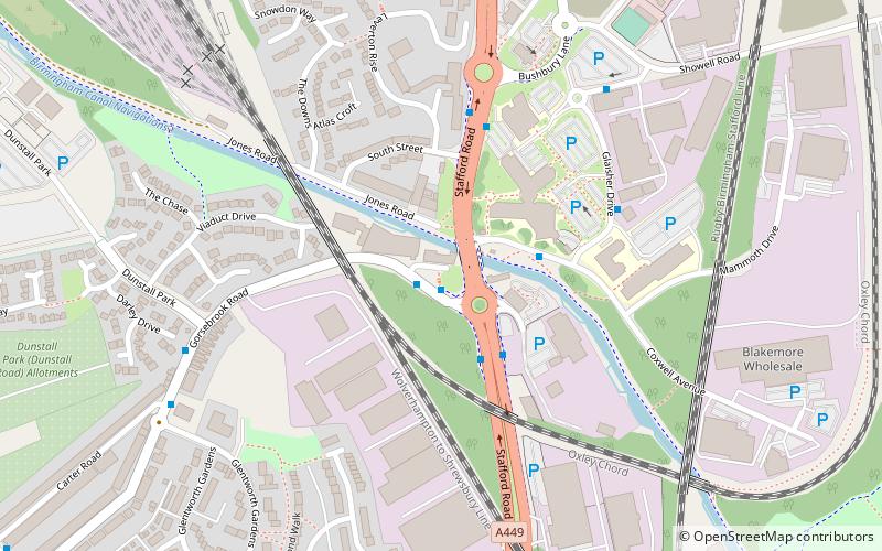
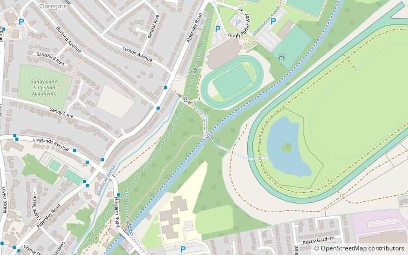
Nearby attractions include Autherley Junction, Wolverhampton (13 min walk), Aldersley Junction, Wolverhampton (23 min walk).
How to get to Dovecotes by public transport?
The nearest stations to Dovecotes:
Bus
Bus
- Ryefields / Dovecotes School • Lines: 6, 6A, 784 (1 min walk)