Staines Boat Club, Staines-upon-Thames
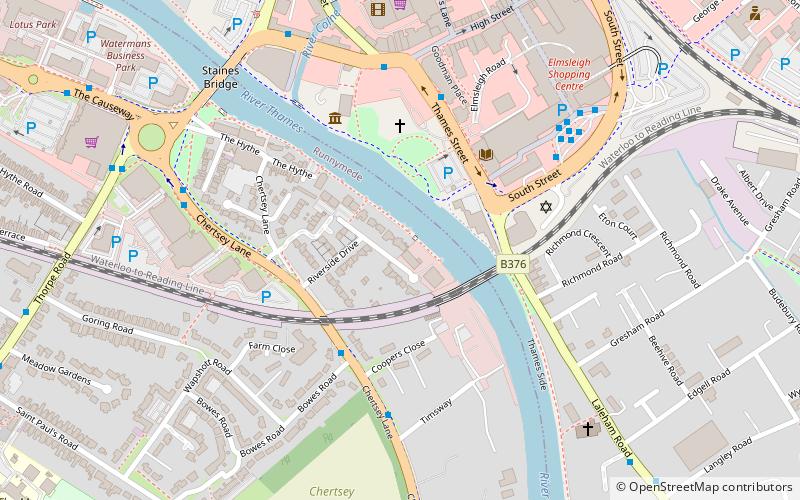
Map
Facts and practical information
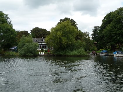
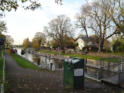
Staines Boat Club is a rowing club between Penton Hook Lock and Bell Weir Lock on the River Thames in England. The club was founded in 1851 where its boathouse stands with hardstanding next to the Hythe spur of the Thames Path in Egham Hythe, historically also known as Staines hythe, the last word meaning small harbour or river harbour. ()
Founded: 1851 (175 years ago)Coordinates: 51°25'52"N, 0°30'47"W
Day trips
Staines Boat Club – popular in the area (distance from the attraction)
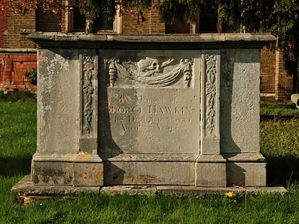
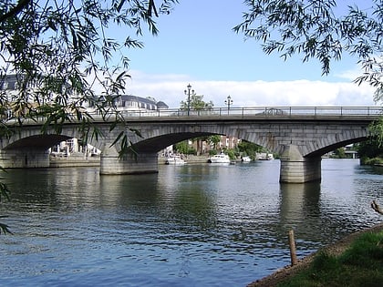
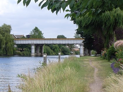
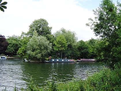
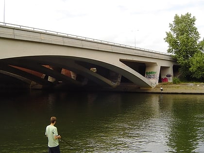
Nearby attractions include: St. Mary's Church, Staines Bridge, Staines Railway Bridge, Hollyhock Island.
Frequently Asked Questions (FAQ)
Which popular attractions are close to Staines Boat Club?
Nearby attractions include Staines Railway Bridge, Staines-upon-Thames (3 min walk), Staines Bridge, Staines-upon-Thames (6 min walk), Church Island, Staines-upon-Thames (11 min walk), St. Mary's Church, Staines-upon-Thames (12 min walk).
How to get to Staines Boat Club by public transport?
The nearest stations to Staines Boat Club:
Bus
Train
Bus
- Bowes Road • Lines: 446, 456, 593 (4 min walk)
- Thames Street • Lines: 441, 446, 456, 500, 566, 567, 570, 593, 8, 8A (4 min walk)
Train
- Staines (12 min walk)
