Isle of Wight: Natural Attraction
Places and attractions in the Natural attraction category
Categories
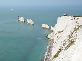
More categoriesThe Needles
Rock formation with many attractions The Needles is a row of three stacks of chalk that rise about 30m out of the sea off the western extremity of the Isle of Wight in the English Channel, United Kingdom, close to Alum Bay, and part of Totland, the westernmost civil parish of the Isle of Wight.
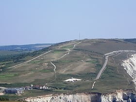
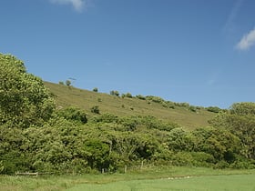
Afton Down
Afton Down is a chalk down near the village of Freshwater on the Isle of Wight. Afton Down faces Compton Bay directly to the west, while Freshwater is approximately one mile north.
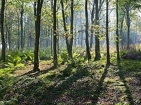
Borthwood Copse
Borthwood Copse, near Sandown, Isle of Wight, England is a piece of woodland owned by the National Trust and is one of the numerous copses which make up part of the medieval forest which covered most of the eastern end of the Island.
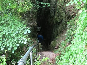
Devil's Chimney
The Devil's Chimney is a scenic rock cleft with steps descending into the Bonchurch Landslips between Bonchurch and Luccombe, Isle of Wight.
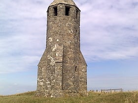
St. Catherine's Down
St. Catherine's Down is a chalk down on the Isle of Wight, located near St Catherine's Point, the southernmost point on the island. The Down rises to 240 metres at its highest point, between the towns of Niton and Chale. Upon the hill is St. Catherine's Oratory, which is a stone lighthouse built in the 14th century by Walter De Godeton.
Brighstone Down
Brighstone Down is a chalk down on the Isle of Wight. It is located close to the village of Brighstone, in the southwest of the island, and rises to 214 metres at its highest point, northeast of the village of Mottistone.
Chink
The Chink is a scenic rock cleft between Bonchurch and Luccombe, Isle of Wight, with steps descending from St Boniface Down to the Bonchurch Landslips below.
Briddlesford Nature Reserve
Briddlesford Nature Reserve consists of 158 hectares of land on the Isle of Wight that is composed of a complex of different habitats, including woodland, arable farmland, lowland meadow, parkland, pond, hedgerow and grazing marsh.
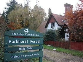
Parkhurst Forest
Parkhurst Forest is a woodland to the north-west of Newport, Isle of Wight, England. The site is partly a site of special scientific interest. It consists of ancient woodland, relict heathland and plantation woodland. The woodland is freehold owned and managed by Forestry England.
Arreton Down
Arreton Down is a 29.77 hectare biological Site of Special Scientific Interest on the Isle of Wight, originally notified in 1979 for its geological interest and then renotified in 1987, but for its biological interest only. It is public access land and popular with early morning dog walkers, who park near the chalk pit entrance.
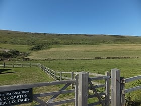
Compton Down
Compton Down is a hill on the Isle of Wight just to the east of Freshwater Bay. It is part of the chalk ridge which forms the "backbone" of the Isle of Wight. It runs east to west, is approximately three miles long and is predominantly grass downland.
Brighstone Forest
Brighstone Forest is located in the southwest of the Isle of Wight. It is the largest forest on the Isle of Wight, being just a few hectares larger than Parkhurst Forest.
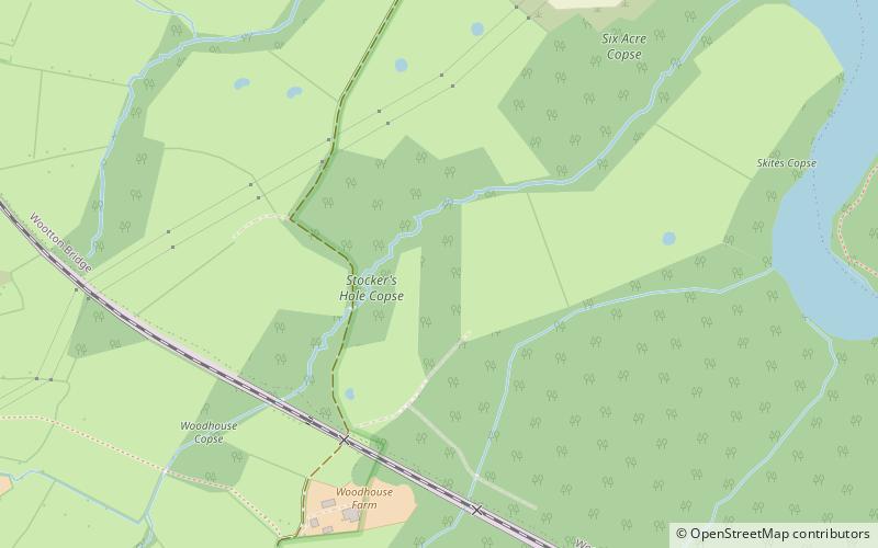
Woodhouse Copse
Woodhouse Copse is a wood owned and managed by the Graeme Kirk. It is located on the north east side of the Isle of Wight between Whippingham and Wootton. It is 18 hectares in area.
Stenbury Down
Stenbury Down is a chalk down on the Isle of Wight. It is located close to the town of Ventnor, in the southeast of the island, and rises to 226 metres at its highest point, west of Wroxall, Isle of Wight.
Garstons Down
Garston's Down is an area of downland on the Isle of Wight, rising to an altitude of 151 m. It is located in the centre of the island, south of Carisbrooke and west of Gatcombe, and is one of the best remaining inland examples of unimproved chalk downland.
Westover Down
Westover Down is a chalk down on the Isle of Wight. It is located close to the village of Brook, in the southwest of the island, and rises to 205 metres at its highest point, northeast of the village.
Map

