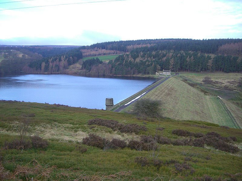
Strines Reservoir, Peak District
Map

Gallery

Facts and practical information
Strines Reservoir is a water storage reservoir situated at 53.4099°N 1.6557°W / 53.4099; -1.6557, 8 miles west of the centre of Sheffield in South Yorkshire, England. ()
Elevation: 820 ft a.s.l.Coordinates: 53°24'35"N, 1°39'23"W
Address
Peak District
ContactAdd
Social media
Add
Day trips
Strines Reservoir – popular in the area (distance from the attraction)
Nearby attractions include: Sandygate Road, Ladybower Reservoir, Church of St Nicholas, Damflask Reservoir.
Frequently Asked Questions (FAQ)
Which popular attractions are close to Strines Reservoir?
Nearby attractions include Bradfield Dale, Peak District (21 min walk), Dale Dike Reservoir, Peak District (23 min walk).


