Yosemite National Park: Nature
Places and attractions in the Nature category
Categories
- Natural attraction
- Nature
- Mountain
- Lake
- Climbing
- Park
- Hill
- Waterfall
- John Muir
- Hiking trail
- Rock
- Museum
- Outdoor activities
- Hiking
- Bridge
- Valley
- Natural feature
Yosemite Valley
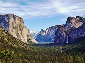
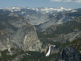
National park's iconic glacial valley Nestled in the heart of California's Sierra Nevada mountains, Yosemite Valley is a crown jewel of Yosemite National Park, one of the most iconic natural landscapes in the United States. With its dramatic granite cliffs, towering waterfalls, and ancient giant sequoias...
Tenaya Lake
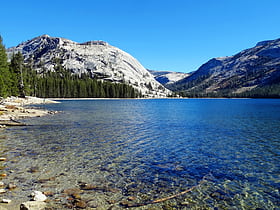
Glacial lake with fishing and boating Tenaya Lake is an alpine lake in Yosemite National Park, located between Yosemite Valley and Tuolumne Meadows. The surface of Tenaya Lake has an elevation of 8,150 feet.
Mariposa Grove
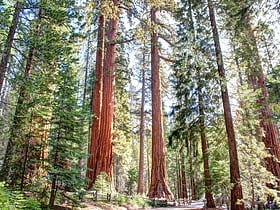
Park with giant sequoias and a museum Mariposa Grove is a sequoia grove located near Wawona, California, United States, in the southernmost part of Yosemite National Park. It is the largest grove of giant sequoias in the park, with several hundred mature examples of the tree. Two of its trees are among the 30 largest giant sequoias in the world.
Sentinel Dome
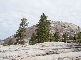
Hiking, park, and outdoor recreation Sentinel Dome is a granite dome in Yosemite National Park, United States. It lies on the south wall of Yosemite Valley, 0.8 miles southwest of Glacier Point and 1.4 miles northeast of Profile Cliff.
Tioga Lake
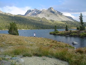
Tioga Lake is a small glacial lake in the Inyo National Forest of Mono County, California, about two miles north of the Tioga Pass entrance to Yosemite National Park. The lake bed is alongside State Route 120 in the Sierra Nevada of California.
Tuolumne Grove
Tuolumne Grove is a giant sequoia grove located near Crane Flat in Yosemite National Park, at the southeastern edge of the Tuolumne River watershed. It is about 16 miles west of Yosemite Village on Tioga Pass Road.
Tenaya Canyon
Tenaya Canyon is a dramatic and dangerous canyon in Yosemite National Park, California, USA, that runs from the outlet of Tenaya Lake 10 miles down to Yosemite Valley, carrying water in Tenaya Creek through a series of spectacular cascades and pools and thence into a deep canyon...
Tueeulala Falls
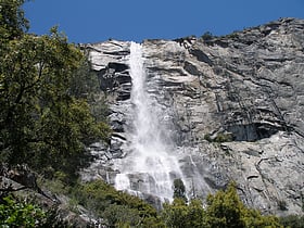
Tueeulala Falls is located on the north side of Hetch Hetchy Valley in Yosemite National Park. At roughly 880 feet it is the smaller of two large waterfalls that spill into Hetch Hetchy Reservoir, the other being Wapama Falls.
Clouds Rest
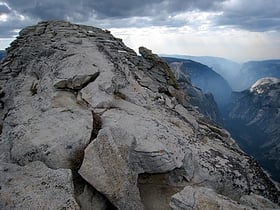
Clouds Rest is a mountain in Yosemite National Park east northeast of Yosemite Village, California. Although there are many peaks in the park having far greater elevation, Clouds Rest's proximity to the valley gives it a very high degree of visual prominence.
Snow Creek Falls
Snow Creek Falls is a long series of cascades located in Yosemite National Park toward the eastern extent of Yosemite Valley. It descends a steep gorge on a sizeable stream that originates in May Lake to the north, dropping east of the trail that leaves the Valley above Mirror Lake en route to North Dome and other north-rim destinations.
Waterwheel Falls
Waterwheel Falls is a waterfall in the Sierra Nevada of California, located in Yosemite National Park. It is the largest of the many waterfalls of the Tuolumne River.
Pothole Dome
Pothole Dome is a granite dome on the west side of Tuolumne Meadows, in Yosemite National Park located at Tioga Road mile marker 18. Near Pothole Dome is Marmot Dome. The summit of the dome is easily accessible by foot from a parking area on the Tioga Road at mile marker 18.
North Dome
North Dome is a granite dome in Yosemite National Park, California. It is the southernmost summit of Indian Ridge, 0.6 miles north of Washington Column and the Royal Arches on the northeastern wall of Yosemite Valley.
Ostrander Lake
Ostrander Lake is located in Yosemite National Park, approximately 10 miles south of Yosemite Valley and 10 miles east of the Badger Pass Ski Area, at an elevation of 8,500 feet.
May Lake
May Lake is a lake in Yosemite National Park, as well as a High Sierra Camp where backpackers can stay in tent cabins located near the lake. There are eight cabins that accommodate a total of thirty six guests. The hike...
Pywiack Dome
Pywiack Dome is a prominent 600 foot granite dome in Yosemite National Park, located 0.7 miles north-east of Tenaya Lake, 4 miles west of Tuolumne Meadows and 200 feet from the Tioga Road.
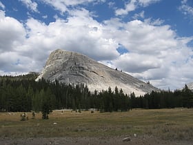
Lembert Dome
Lembert Dome is a granite dome rock formation in Yosemite National Park in the US state of California. The dome soars 800 feet above Tuolumne Meadows and the Tuolumne River and can be hiked starting at the Tioga Road in the heart of Tuolumne Meadows, 8 miles west of the Tioga Pass Entrance to Yosemite National Park.
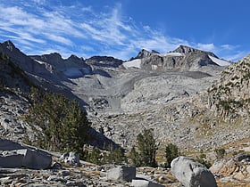
Mount Lyell
Mount Lyell is the highest point in Yosemite National Park, at 13,114 feet. It is located at the southeast end of the Cathedral Range, 1.2 miles northwest of Rodgers Peak.
Stately Pleasure Dome
Stately Pleasure Dome is the unofficial name for the prominent south-southwestern portion of Polly Dome, a granite dome on the northwest side of Tenaya Lake and Tioga Road in the Yosemite high country.
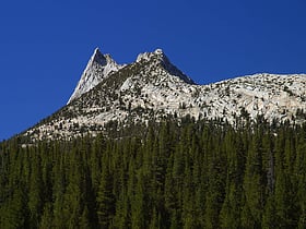
Cathedral Peak
Cathedral Peak is part of the Cathedral Range, a mountain range in the south-central portion of Yosemite National Park in eastern Mariposa and Tuolumne Counties. The range is an offshoot of the Sierra Nevada.
Liberty Cap
Liberty Cap is a granite dome in Yosemite National Park, California, United States which lies at the extreme northwestern margin of Little Yosemite Valley. It lies adjacent, to the north of Nevada Fall, on the John Muir Trail. It rises 1,700 feet feet from the base of Nevada Fall to a peak elevation of 7,080 ft.
Pywiack Cascade
The Pywiack Cascade is a waterfall in Yosemite National Park within the U.S. state of California. It is located a few miles downstream from the outlet of Tenaya Lake on Tenaya Creek at the head of the steep and rugged granite gorge, Tenaya Canyon.
Mount Hoffmann
Mount Hoffmann is a prominent peak in northeastern Mariposa County in the center of Yosemite National Park, California, United States. It rises above May Lake and is a day hike of 6.2 miles from Tioga Pass Road. The mountain is named for the cartographer Charles F.
Kibbie Lake
Kibbie Lake lies in the remote north-west portion of Yosemite National Park in the United States. It is accessible only to hikers and equestrians. It is the largest non-artificial lake in the national park.
LeConte Falls
LeConte Falls is a waterfall in the Sierra Nevada of California, in Yosemite National Park. It is a 229 ft. high cascade on the Tuolumne River and the second largest falls on this river.
Dog Lake
Dog Lake is a lake in Yosemite National Park. It is a shallow but very cold lake, which is good for water sports. It is near to Dog Dome, is north, of Lembert Dome, and south, of Ragged Peak.
Sierra Point
Sierra Point is a point located in Yosemite National Park at the eastern end of the valley, below Grizzly Peak, on what is essentially the southern shoulder of Half Dome. The trail used to be quite popular, but was closed due to a rock slide in the 1970s. This was John Muir's favorite trail.
Grizzly Peak
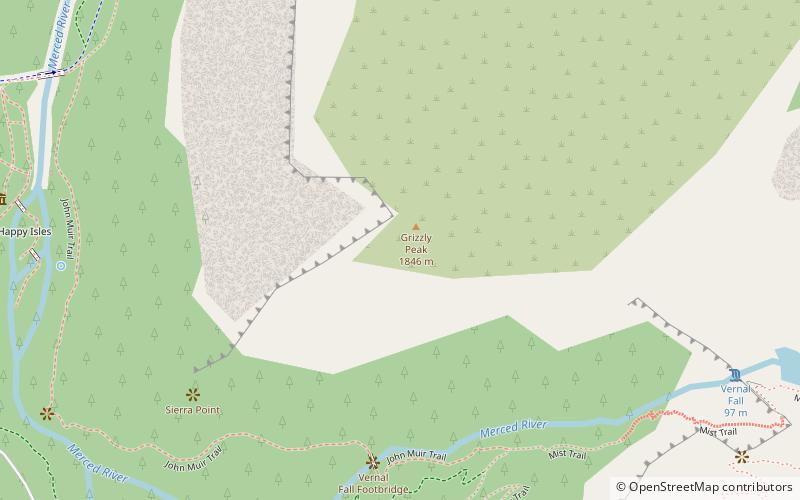
Grizzly Peak in Yosemite Valley is a promontory on the southwest wall below the popular Half Dome. It can be seen on the hike to Vernal Fall and Nevada Fall, from northeastern Glacier Point, and various other locations in the Yosemite Valley.
Lake Eleanor
Lake Eleanor is a reservoir located in the northwestern backcountry of Yosemite National Park at an altitude of 4,657 feet. The reservoir has a capacity of 26,100 acre feet and a surface area of 953 acres.
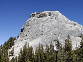
Fairview Dome
Fairview Dome is a prominent granite dome in Yosemite National Park, located 1.8 miles north of Cathedral Peak and 4 miles west of Tuolumne Meadows. Near Fairview Dome is Marmot Dome, linked by an area called Razor Back. Northwest is Hammer Dome.
Lake Vernon
Lake Vernon is located in the Tiltill Valley in the northern sector of Yosemite National Park just north of Hetch Hetchy Valley. The surface elevation of the lake is 6,568 ft. Due to the remote location of the lake, it is usually only accessed as a backpacking destination.
Vogelsang Peak
Vogelsang Peak is a peak in the Cathedral Range of Yosemite National Park, located in northeastern Mariposa County, California.
Kolana Rock
Kolana Rock is a prominent granite dome located along the southern edge of Hetch Hetchy Valley in Yosemite National Park. John Muir stated that Kolana was the Indian name for the rock.
Triple Divide Peak
Triple Divide Peak is a mountain on the boundary between Yosemite National Park and the Ansel Adams Wilderness in Madera County, California. It is located 0.7 miles north of Walton Lake and 1.3 miles southeast of Merced Peak.
Budd Lake
Budd Lake is a lake in the Tuolumne Meadows region of Yosemite National Park, United States. Budd Lake is the source of Budd Creek. Budd Lake was named for James Budd, 19th Governor of California.
Tenaya Peak
Tenaya Peak is a mountain in the Yosemite high country, rising above Tenaya Lake. Tenaya Peak is named after Chief Tenaya, who met the Mariposa Battalion near the shores of the Tenaya lake.
Cathedral Lakes
The Cathedral Lakes are two lakes located In Yosemite National Park, Mariposa County, California. The lakes are situated 1.6 km southwest of Cathedral Peak and 3.2 km east-northeast of Tenaya Lake; Tresidder Peak is also near.
El Capitan
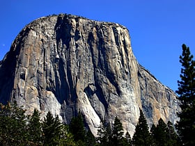
Iconic rock formation with hiking trails El Capitan is a vertical rock formation in Yosemite National Park, located on the north side of Yosemite Valley, near its western end.
Little Yosemite Valley
Little Yosemite Valley is a smaller glacial valley upstream in the Merced River drainage from the Yosemite Valley in Yosemite National Park.
Lyell Canyon
Lyell Canyon is a sub-alpine meadow in Yosemite National Park south of Tuolumne Meadows. For 13 kilometers most of the canyon has an approximate elevation of 2 700 meters, and then rapidly climbs to 3 370 meters to Donohue Pass, below Donohue Peak – which marks the eastern boundary of Yosemite.
Flora Lake
Flora Lake is a remote lake located in the northern environs of Yosemite National Park, California, United States. The lake is located in a rugged environment that is only accessible to intrepid hikers.
Breeze Lake
Breeze Lake is a lake in Yosemite National Park, United States. Breeze Lake was named for William F. Breeze for his assistance in creating a map of the area.
Ardeth Lake
Ardeth Lake is a lake in Tuolumne County, California, in the United States. Ardeth Lake was named for a Yosemite ranger's wife.
Boothe Lake
Boothe Lake is a lake in Yosemite National Park, United States. Boothe Lake was named in honor of Clyde Boothe, a park ranger.
Map

