Grabeskirche St. Josef, Aachen
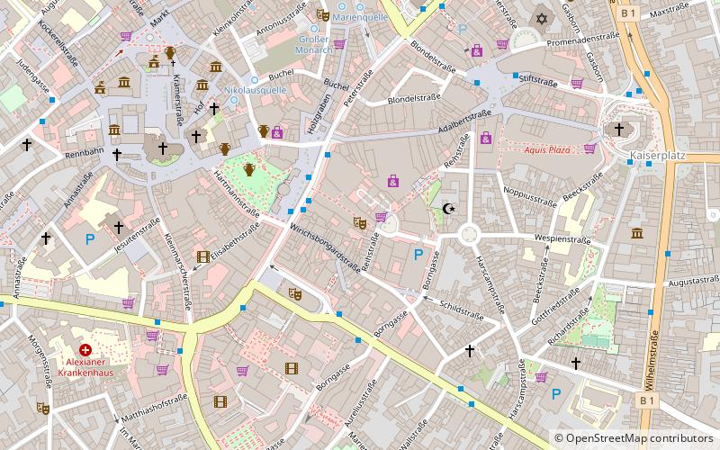
Map
Gallery
Facts and practical information
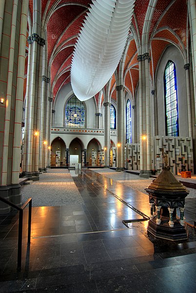
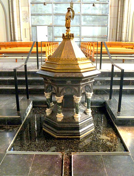
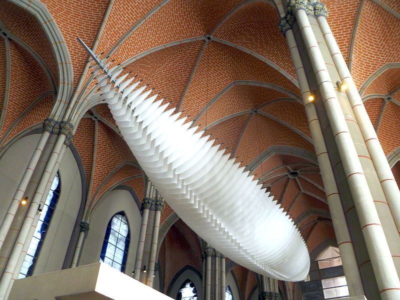
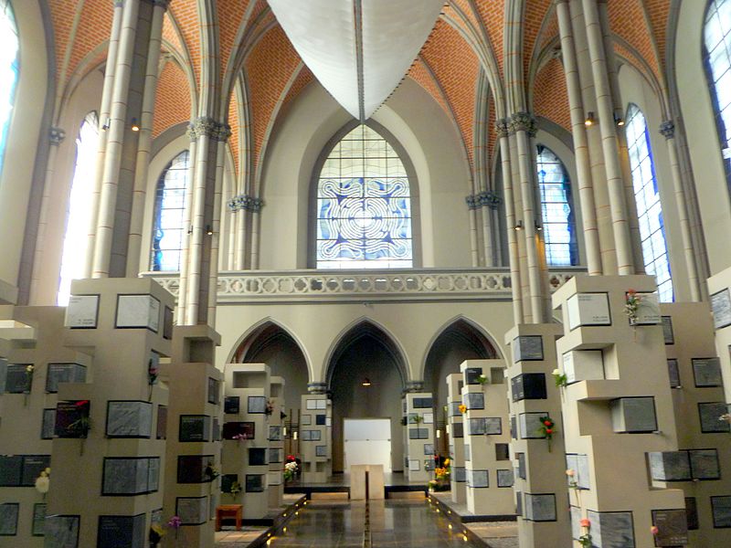
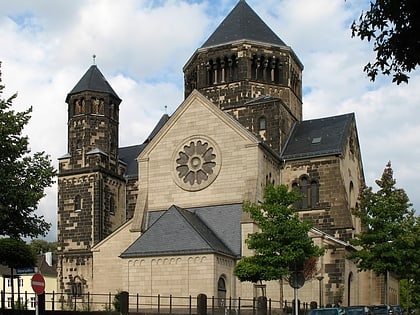
St. Josef in Aachen is a former Catholic parish church that is now used as a columbarium for urn burials under the name "Grabeskirche", partly because the neighboring Aachen East Cemetery has reached the limits of its capacity.
Coordinates: 50°46'29"N, 6°6'29"E
Day trips
Grabeskirche St. Josef – popular in the area (distance from the attraction)
Nearby attractions include: Aquis Plaza, Carolus Thermen, Suermondt-Ludwig-Museum, Frankenberg Castle.
Frequently Asked Questions (FAQ)
Which popular attractions are close to Grabeskirche St. Josef?
Nearby attractions include Ostfriedhof, Aachen (4 min walk), Pfarrkirche St. Fronleichnam, Aachen (8 min walk), Kennedypark, Aachen (12 min walk), Frankenberg Castle, Aachen (13 min walk).
How to get to Grabeskirche St. Josef by public transport?
The nearest stations to Grabeskirche St. Josef:
Bus
Train
Bus
- Josefskirche • Lines: 12, 15, 2, 22, 23, 25, 35, 45, 47, 5, 55, 65, 66, 73, N 1, N 60, N 8 (2 min walk)
Train
- Aachen-Rothe Erde (13 min walk)
- Aachen Hauptbahnhof (23 min walk)


