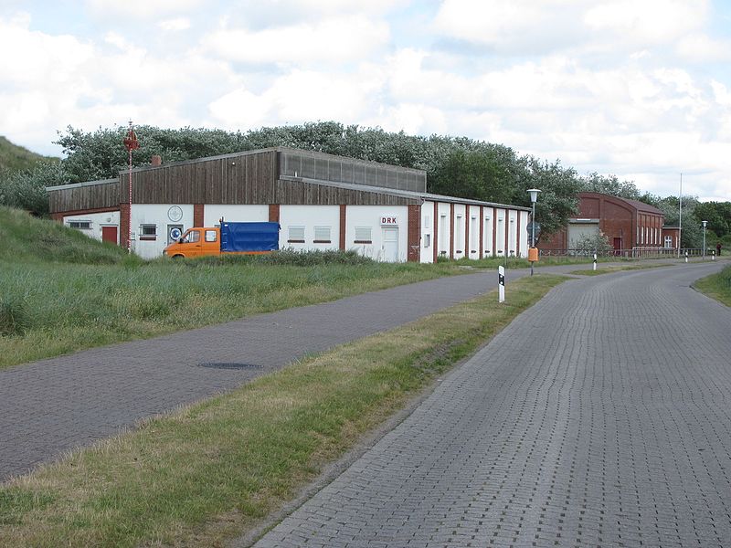
ehem. Ostlandbahn, Borkum
Map

Gallery

Facts and practical information
The Ostlandbahn was a narrow-gauge railroad line with a gauge of 900 mm on the East Frisian North Sea island of Borkum, which - as an extension of the Borkumer Kleinbahn - was built and operated from its Borkum station from 1908 by the Imperial Navy as a naval railroad.
Coordinates: 53°36'32"N, 6°44'45"E
Address
Borkum
ContactAdd
Social media
Add
Day trips
ehem. Ostlandbahn – popular in the area (distance from the attraction)
Nearby attractions include: Borkum Großer Light, Kleiner Leuchtturm, Maria Meeresstern, Christ Church.


