Long Rhön
Map

Map

Facts and practical information
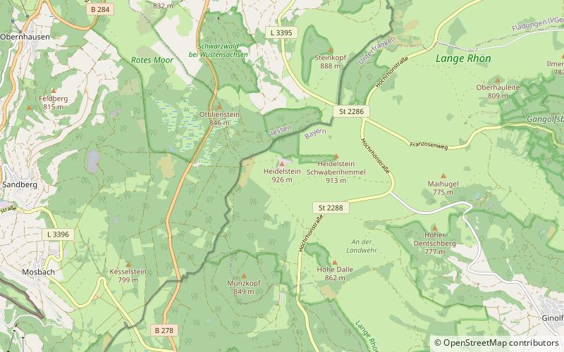
The Long Rhön is a ridge in the Central Rhön which forms part of the High Rhön within the Rhön Mountains. The Long Rhön is an elongated basalt plateau in the centre, roughly 800 metres above sea level, which is only occasional interrupted by mountain peaks. Its highest mountain is the Heidelstein. A majority of the area is part of the Long Rhön Nature Reserve. In this area of the Rhön is the Black Moor. ()
Location
Bavaria
ContactAdd
Social media
Add
Day trips
Long Rhön – popular in the area (distance from the attraction)
Nearby attractions include: Wasserkuppe, Deutsches Segelflugmuseum, Black Moor, Gangolfsberg.


