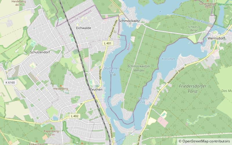
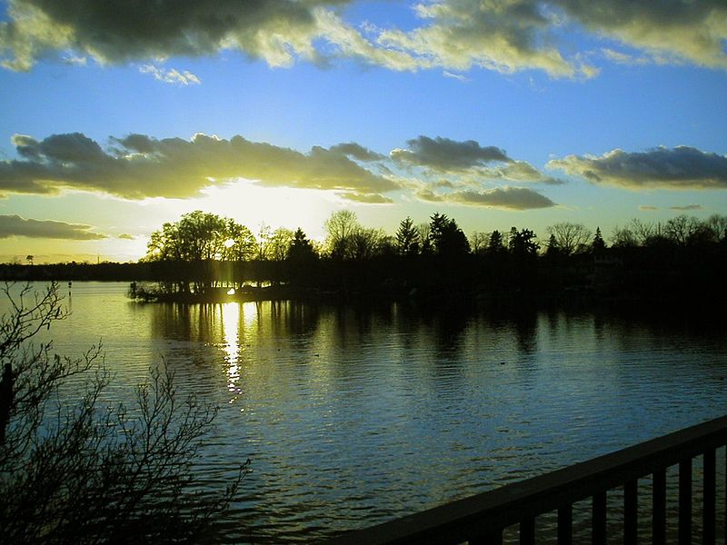
Zeuthener See, Berlin

Gallery (2)
Map
Map
Gallery
Facts and practical information
Alternative names: Area: 0.9 mi²Length: 2.49 miWidth: 2756 ftMaximum depth: 14 ftElevation: 105 ft a.s.l.Coordinates: 52°21'25"N, 13°38'28"E
Address
Treptow-Köpenick (Schmöckwitz)Berlin
ContactAdd
Social media
Add
Getting there by public transportation
Public transportation stops near this location
- Bus
 Bus
Bus
- Calculate routeRegensburger Straße 22 min walk
- Calculate routeZiegenhals, Schulstraße 32 min walk
Maps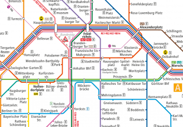 Metro
Metro
MetroDay trips


Frequently Asked Questions (FAQ)
How to get to Zeuthener See by public transport?
The nearest stations to Zeuthener See:
Bus
Bus
- Regensburger Straße • Lines: 731 (22 min walk)
- Ziegenhals, Schulstraße • Lines: 428, 733 (32 min walk)