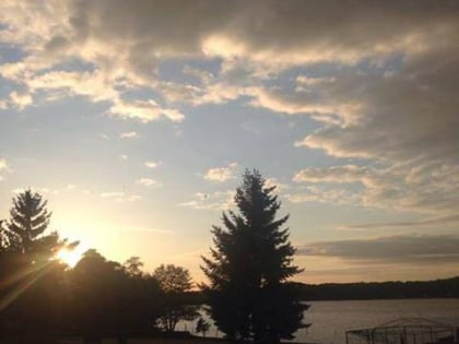
Langer See, Berlin
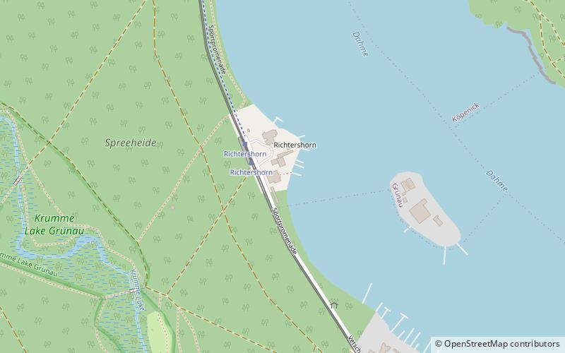
Map
Facts and practical information
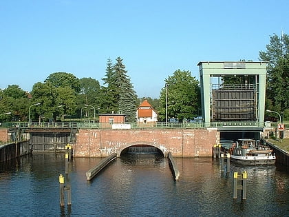
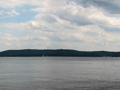
The Langer See is a lake situated in the south-eastern outskirts of Berlin, the capital city of Germany. The lake is aligned south-east to north-west and forms part of the course of the River Dahme. The Langer See is approximately 11 kilometres long, with an average width of 221 metres and an area of 2.43 square kilometres. ()
Alternative names: Area: 1.03 mi²Length: 6.84 miElevation: 125 ft a.s.l.Coordinates: 52°24'3"N, 13°37'33"E
Address
Treptow-Köpenick (Grünau)Berlin
ContactAdd
Social media
Add
Day trips
Langer See – popular in the area (distance from the attraction)
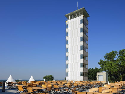
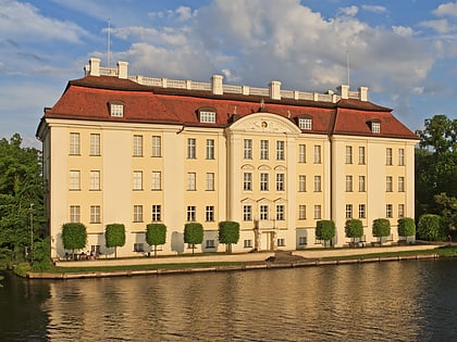
Nearby attractions include: Müggelturm, Müggelsee, Köpenick Palace, Müggelsee.
Frequently Asked Questions (FAQ)
How to get to Langer See by public transport?
The nearest stations to Langer See:
Tram
Ferry
Tram
- Richtershorn • Lines: 68 (2 min walk)
- Bammelecke • Lines: 68 (11 min walk)
Ferry
- Krampenburg • Lines: F21 (33 min walk)
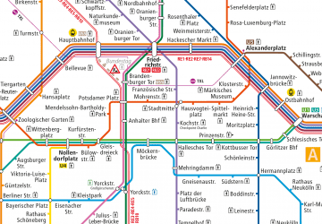 Metro
Metro