Müggelsee, Berlin
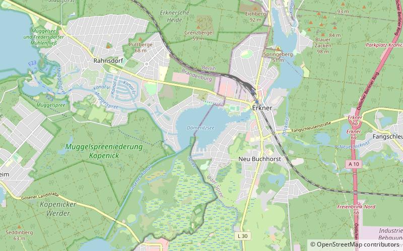
Map
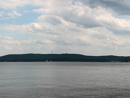
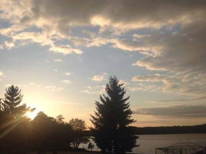
Gallery
Facts and practical information
Alternative names: Area: 2.82 mi²Length: 2.67 miWidth: 8530 ftMaximum depth: 26 ftElevation: 98 ft a.s.l.Coordinates: 52°26'15"N, 13°38'54"E
Address
Treptow-Köpenick (Köpenick)Berlin
ContactAdd
Social media
Add
Day trips
Müggelsee – popular in the area (distance from the attraction)
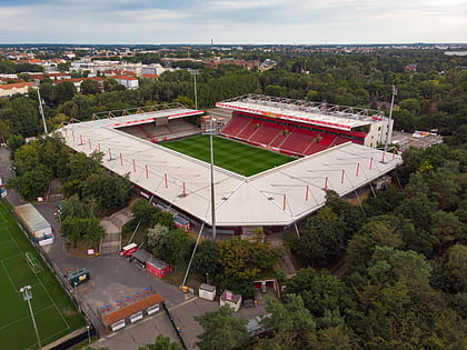
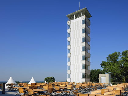
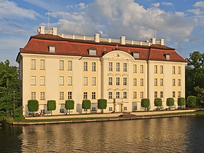
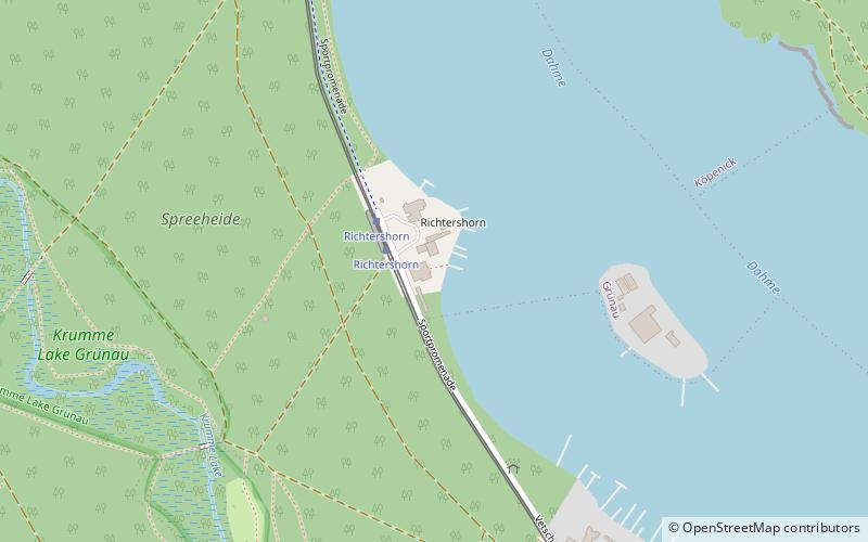
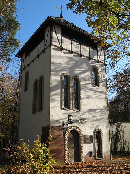
Nearby attractions include: Stadion An der Alten Försterei, Müggelturm, Müggelsee, Köpenick Palace.
Frequently Asked Questions (FAQ)
How to get to Müggelsee by public transport?
The nearest stations to Müggelsee:
Tram
Ferry
Tram
- Altes Wasserwerk • Lines: 60 (21 min walk)
- Bruno-Wille-Straße • Lines: 60 (24 min walk)
Ferry
- Müggelhort • Lines: F23 (31 min walk)



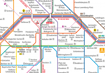 Metro
Metro