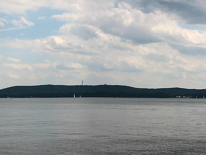
Gosen Canal, Berlin
Map
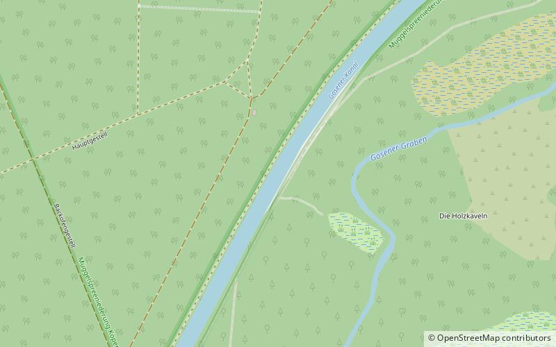
Map

Facts and practical information
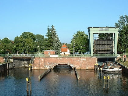
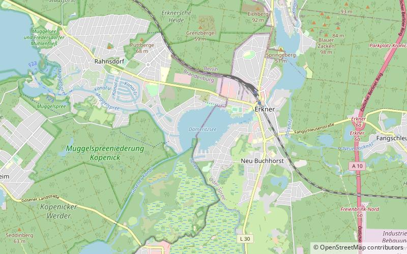
The Gosen Canal is a canal in the eastern suburbs of Berlin, the capital city of Germany. It takes its name from the village Gosen, at the southern end of the canal. It is 4 kilometres in length and links the Dämeritzsee and Seddinsee lakes. The Dämeritzsee and Seddinsee are both navigable, with the Seddinsee providing a link to the River Dahme and the Oder-Spree Canal, and the Dämeritzsee providing a link to the Müggelspree reach of the River Spree and to the Flakensee. ()
Address
Treptow-Köpenick (Müggelheim)Berlin
ContactAdd
Social media
Add
Day trips
Gosen Canal – popular in the area (distance from the attraction)
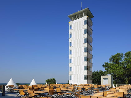
Nearby attractions include: Müggelturm, Müggelsee, Müggelsee, Zeuthener See.
Frequently Asked Questions (FAQ)
How to get to Gosen Canal by public transport?
The nearest stations to Gosen Canal:
Bus
Bus
- Müggelpark • Lines: 369, 424 (24 min walk)
- Gosen, Eichwalder Straße • Lines: 424 (30 min walk)

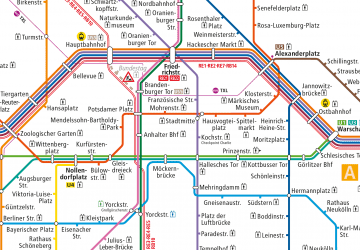 Metro
Metro